What is recorded here
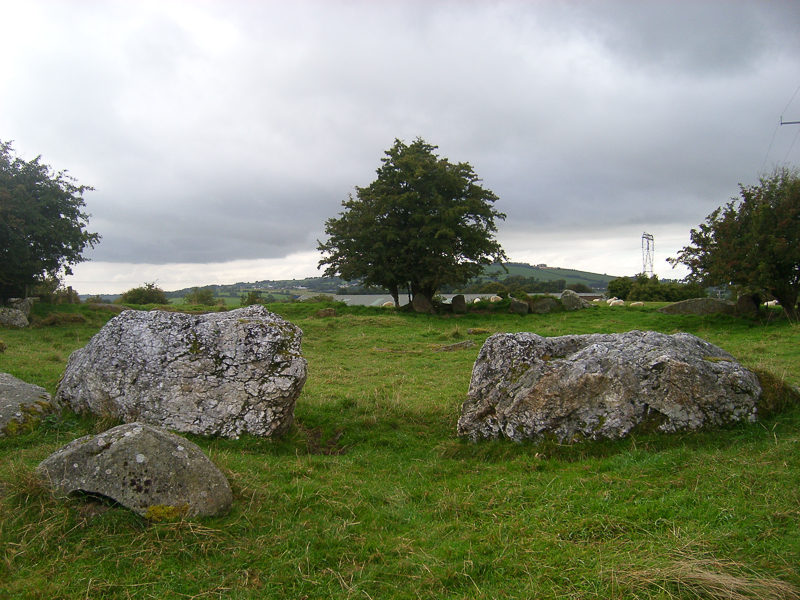
One of two unclassified cairns on a gentle W-facing slope overlooking a steeper slope with good views to W. Listed in the RMP (1986) as 'Hut sites - possible'. A subcircular area (diam. c. 13m NW-SE; c. 11m NE-SW) defined by a contiguous ring of large granite stones (L 1.5-1.8m) described by Leask (NMI/OPW Topographical files, undated) as a cairn circle comprising as many as 24 stones. Another unclassified cairn (WI021-017002-) lies 12m to the S. A third unclassified cairn (WI021-017003-) lies c. 140m to the NNE.
Compiled by: Mary Tunney
Date of upload: 5 December 2012
The monument record does not grant public access. Check the route and ask the landowner before entering private land.
- What survives
- Recorded monument
Places near here
 English hollyEnglish holly · 618 yd
 Druidical CircleStone circle, embanked · 692 yd
 Enclosure in Castleruddery LowerEnclosure · 713 yd
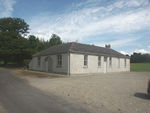 Donaghmore National Schoolschool · 831 yd
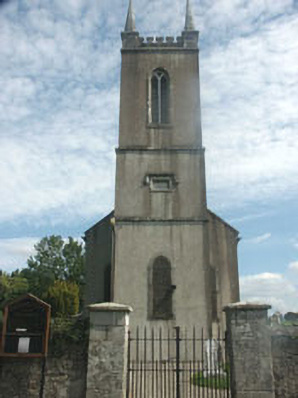 Donaghmore Churchchurch/chapel · 905 yd
 Castleruddery MotteArchaeological place · 923 yd
 CastleCastle, motte · 983 yd
 Pedunculate OakPedunculate Oak · 2.2 mi
 Ballyhook HillMountain / peak · 2.3 mi
 Saint Brigit's ChairNamed rock · 3.0 mi
 Saint Brigit's Mass StoneNamed rock · 3.1 mi
 PinnacleMountain / peak · 3.3 mi