What is recorded here
Cairn is a cairn, unclassified in Carrowculleen, County Sligo, Ireland. The subcircular structure sits on the north edge of Knockachree Mountain in blanket bog, overlooking the coastal strip from Killala Bay to Sligo Bay. Its centre contains a moss-covered hollow surrounded by an outer stone ring, while a smaller conical heap marks the south edge as a trigonometrical station.
In blanket bog, located on the N edge of Knockachree Mountain, in the Ox Mountain Range. To N of the cairn the ground shelves away, dropping in steep terraces to the rocky cliffs that define the N edge of the mountain. The location provides panoramic views, encompassing the entire lowlying coastal strip from Killala Bay, Co. Mayo at NW to Sligo Bay at NE, and stretching N to Slieve League in Donegal. Benbulben and Knocknarae mountains are prominent to NE. To SE−SW the views are of the blanket bog-covered plateau of the mountain.
Subcircular cairn (18.6m N−S; 16m E−W) constructed of medium and large angular slabs of locally-occurring quartz-bearing gneiss/schist. The centre of the cairn appears to have been dug into/disturbed in the past, leaving a moss-covered stony hollow interior (5m N−S; 4.5m E−W) surrounded by an outer ring of cairn material. The outer ring consists of a stone bank (Wth c. 6m; H 1-1.4m) of irregular height, partly moss-covered. A small, roughly conical heap (diam. 3-3.5m; H 0.9m) of stones, has been built on top of the S edge of the cairn; it is of relatively recently construction, probably for use as a trigonometrical station. There is another cairn (SL019-258----) c. 600m to S, not visible from this cairn.
Attached images:
SL019-262----_01.JPG Cairn viewed from SW
SL019-262----_02.JPG Cairn viewed from SE
SL019-262----_03.JPG Cairn viewed from NW, showing central moss-covered hollow
SL019-262----_04.JPG Cairn viewed from NE
Compiled by: Jane O'Shaughnessy
Date of upload: 6 May 2020
The monument record does not grant public access. Check the route and ask the landowner before entering private land.
- What survives
- Recorded monument
Places near here
 Knockalongy North-East TopMountain / peak · 746 yd
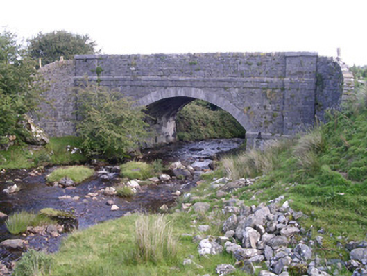 bridgebridge · 1637 yd
 KnockalongyMountain / peak · 1715 yd
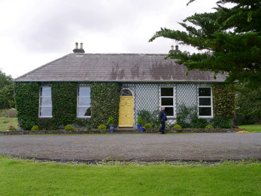 Holy Hill Hermitagehouse · 1.6 mi
 Holy well in Carrownamaddoo (tireragh By.)Holy well · 1.7 mi
 Enclosure in Lecarrow (tireragh By., Skreen Ed)Enclosure · 1.9 mi
 Valley WoodForest · 2.8 mi
 Pigeonpark WoodForest · 3.0 mi
 Bawn in Longford DemesneBawn · 3.1 mi
 White RockNamed rock · 3.6 mi
 The Turf Stack RockNamed rock · 4.1 mi
 Giant's GraveArchaeological place · 4.2 mi