What is recorded here
In blanket bog, located on the N edge of Knockachree Mountain, in the Ox Mountain Range. To N of the cairn the ground shelves away, dropping in steep terraces to the rocky cliffs that define the N edge of the mountain. The location provides panoramic views, encompassing the entire lowlying coastal strip from Killala Bay, Co. Mayo at NW to Sligo Bay at NE, and stretching N to Slieve League in Donegal. Benbulben and Knocknarae mountains are prominent to NE. To SE−SW the views are of the blanket bog-covered plateau of the mountain.
Subcircular cairn (18.6m N−S; 16m E−W) constructed of medium and large angular slabs of locally-occurring quartz-bearing gneiss/schist. The centre of the cairn appears to have been dug into/disturbed in the past, leaving a moss-covered stony hollow interior (5m N−S; 4.5m E−W) surrounded by an outer ring of cairn material. The outer ring consists of a stone bank (Wth c. 6m; H 1-1.4m) of irregular height, partly moss-covered. A small, roughly conical heap (diam. 3-3.5m; H 0.9m) of stones, has been built on top of the S edge of the cairn; it is of relatively recently construction, probably for use as a trigonometrical station. There is another cairn (SL019-258----) c. 600m to S, not visible from this cairn.
Attached images:
SL019-262----_01.JPG Cairn viewed from SW
SL019-262----_02.JPG Cairn viewed from SE
SL019-262----_03.JPG Cairn viewed from NW, showing central moss-covered hollow
SL019-262----_04.JPG Cairn viewed from NE
Compiled by: Jane O'Shaughnessy
Date of upload: 6 May 2020
The monument record does not grant public access. Check the route and ask the landowner before entering private land.
- What survives
- Recorded monument
Places near here
 Knockalongy North-East TopMountain / peak · 746 yd
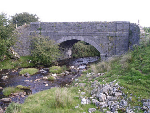 bridgebridge · 1637 yd
 KnockalongyMountain / peak · 1715 yd
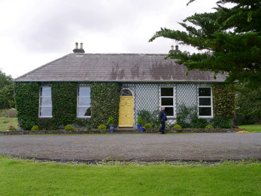 Holy Hill Hermitagehouse · 1.6 mi
 Holy well in Carrownamaddoo (tireragh By.)Holy well · 1.7 mi
 Enclosure in Lecarrow (tireragh By., Skreen Ed)Enclosure · 1.9 mi
 Valley WoodForest · 2.8 mi
 Pigeonpark WoodForest · 3.0 mi
 Bawn in Longford DemesneBawn · 3.1 mi
 White RockNamed rock · 3.6 mi
 The Turf Stack RockNamed rock · 4.1 mi
 Giant's GraveArchaeological place · 4.2 mi