What is recorded here
Gentle SE facing slope of grazing land. Fine views towards Wicklow Head and out to sea. A large oblong cairn 17m NW-SE x 9m NE-SW, 1.7m high at NW and SE ends, 2.1m high elsewhere. The SW side of the cairn has been clearly dug away, and this is confirmed by local information that stones were drawn from the site for surfacing local lanes. It is likely therefore that the cairn was more circular than is presently the case.
While in some ways the cairn appears to simply represent a large clearance cairn, given its scale, and the fact that it has been partially quarried away, and also given the lack of any further such clearance cairns in any neighbouring fields, it seems most likely that this is a prehistoric burial cairn.
Date of upload: 01 October 2012
A Neolithic oblong cairn, likely dating to the Early to Middle Neolithic period (c. 4000–3000 BCE). Its size and position suggest it may have been a significant communal burial or ceremonial site in a landscape with wide visibility.
The monument record does not grant public access. Check the route and ask the landowner before entering private land.
- What survives
- Recorded monument
Places near here
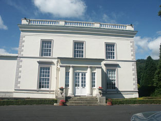 Dunran Castlecountry house · 1116 yd
 Church (in Ruins)Church · 1191 yd
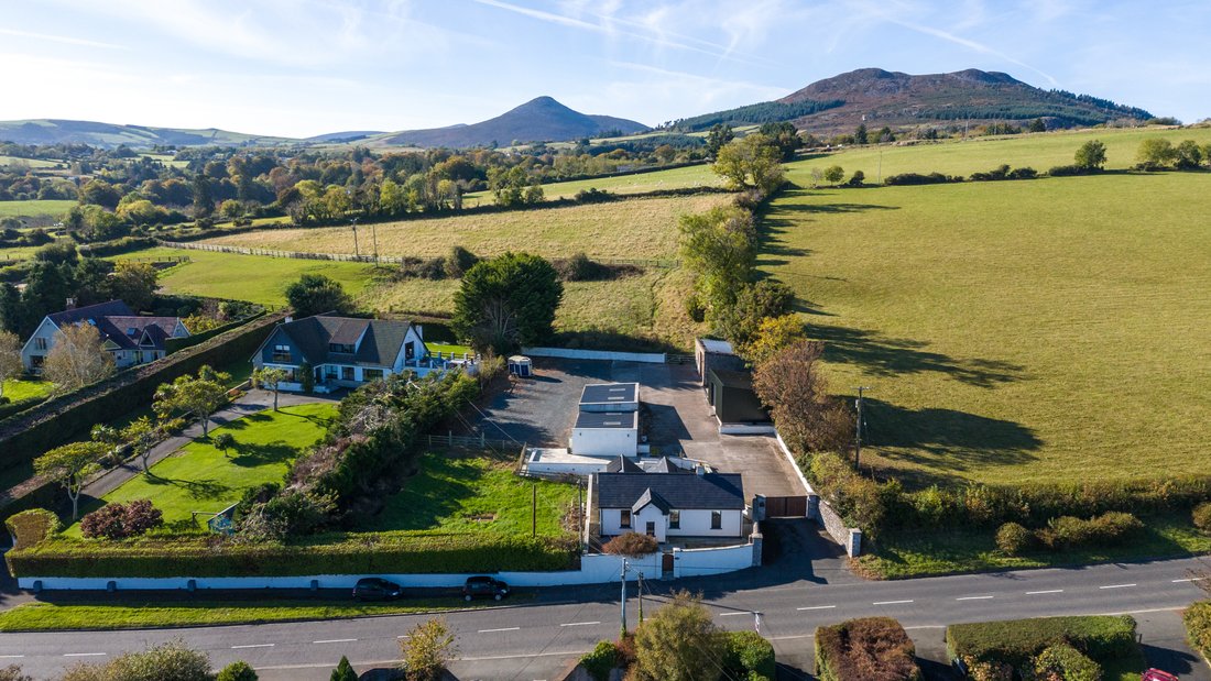 Enclosure in CourtfoyleEnclosure · 1576 yd
 St. Patricks WellHoly well · 1658 yd
 CastleCastle, ringwork · 1.5 mi
 Devil's Glen WoodForest · 2.4 mi
 Castle (in Ruins)Castle, ringwork · 2.5 mi
 Devil's Glen WaterfallWaterfall · 2.5 mi
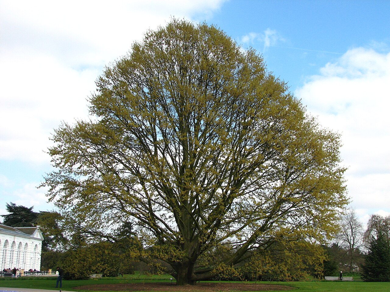 Chestnut-leaved OakChestnut-leaved Oak · 2.8 mi
 Leamore StrandBeach / strand · 4.0 mi
 Victor's WayHeritage attraction · 4.9 mi
 BallinacorbegMountain / peak · 4.9 mi