What is recorded here
Cairn is a 228-acre townland in County Cavan where prehistoric stones still mark the ground before McKiernan clansmen shaped it into a living landscape. The name itself preserves the shape of the place: a cairn, a burial mound, a heap of stones set among water, wood and lane. Later grants, sales and plantations changed the owners, but they did not erase the older fact that people kept returning to this spot, naming it, building on it and remembering it through loss.
An almost circular cairn of small to medium-sized stones (H 0.6m; dims. 6.2m NW-SE; 5.9m NE-SW). Situated close to the summit of Bruse Hill and heavily overgrown with heather.
The above description is derived from the published 'Archaeological Inventory of County Cavan' (Dublin: Stationery Office, 1995). In certain instances the entries have been revised and updated in the light of recent research.
Date of upload/revision: 22 December 2008
The monument record does not grant public access. Check the route and ask the landowner before entering private land.
- What survives
- Recorded monument
Places near here
 Bruse HillMountain / peak · 245 yd
 CloghmoreArchaeological place · 1049 yd
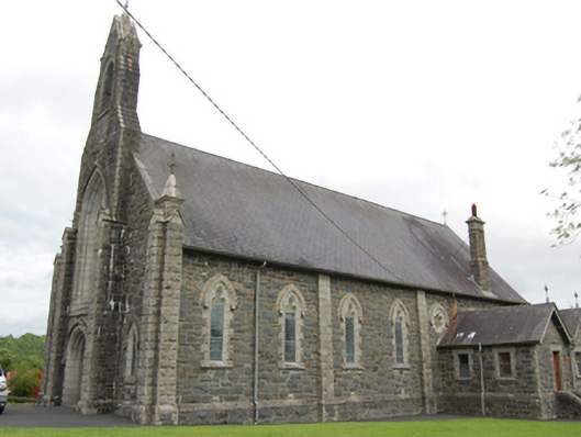 Church of the Immaculate Conceptionchurch/chapel · 1156 yd
 Bawn in CastlepolesBawn · 1525 yd
 CastlepolesMountain / peak · 1.1 mi
 R. C ChapelChurch · 1.2 mi
 Corraneary WoodWood · 1.7 mi
 Cornafean GFCMemorial · 1.7 mi
 EnclosureEnclosure, large enclosure · 1.9 mi
 Pottle WoodlandWood · 2.0 mi
 Red IslandIslet · 2.0 mi
 Lismore CastleCastle, unclassified · 3.5 mi