What is recorded here
No god, chamber or chambered tomb is recorded. The facts stop at a low oval of small and medium stones, eight large kerbstones around it, six still upright and two fallen, hidden under heather a short distance below the top of Bruse Hill. That much is clear. What the cairn marked, when it was built and whether it still holds a dead person, a boundary, a gift or a warning is not known.
Site is situated c. 100m SW of the summit of Bruse Hill and is heavily overgrown with heather. Oval-shaped cairn (H 0.6m; dims. c. 10.4m NE-SW; c. 8.4m NW-SE) comprising small and medium-sized stones. Enclosed by at least eight large kerbstones; six are on edge, two have fallen.
The above description is derived from the published 'Archaeological Inventory of County Cavan' (Dublin: Stationery Office, 1995). In certain instances the entries have been revised and updated in the light of recent research.
Date of upload/revision: 22 December 2008
The monument record does not grant public access. Check the route and ask the landowner before entering private land.
- What survives
- Recorded monument
Places near here
 Bruse HillMountain / peak · 83 yd
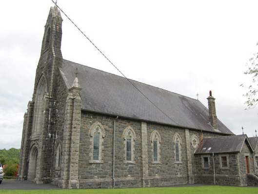 Church of the Immaculate Conceptionchurch/chapel · 1000 yd
 CloghmoreArchaeological place · 1053 yd
 Bawn in CastlepolesBawn · 1643 yd
 CastlepolesMountain / peak · 1.1 mi
 R. C ChapelChurch · 1.2 mi
 Corraneary WoodWood · 1.6 mi
 Cornafean GFCMemorial · 1.7 mi
 IndicatedFairy fort / earthen ringfort · 1.9 mi
 Gartylough Wet WoodlandWood · 2.0 mi
 Red IslandIslet · 2.1 mi
 Lismore CastleCastle, unclassified · 3.5 mi