What is recorded here
Situated on a level terrace in pasture on a SW-facing hill-slope. This is a much disturbed subcircular grrass-grown cairn measuring 8m NW-SE by 7m NE-SW by about 0.5m high. An orthostatic structure is partially exposed at about the centre but it is very difficult to examine. It seems best interpreted as two conjoined cists (TN033-058001) aligned NNW-SSE. The more northerly and larger example measures about 1.8m long and 0.5m wide and is represented by three stones at the E, one at the W, an end-stone at the N and another at the S which separates the two cists. The smaller cist is 0.6m long and 0.5m wide. As well as the end-stone it shares with the larger cist, it is represented by one stone at the W and an end-stone at the S.
Compiled by: Caimin O'Brien.
Date of upload: 22 September 2008
A Neolithic cairn, likely dating to the Early to Middle Neolithic period (c. 4000–3000 BCE), with possible orthostatic features; its presence indicates early settlement and funerary activity in the region.
The monument record does not grant public access. Check the route and ask the landowner before entering private land.
- What survives
- Recorded monument
Places near here
 Cooneen HillMountain / peak · 1.5 mi
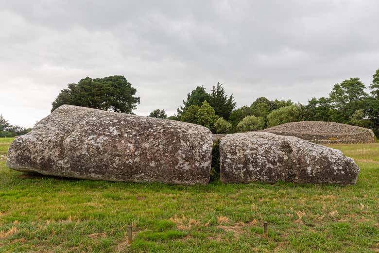
 Dermot & Grania's BedArchaeological place · 1.6 mi
 Mount Island Househouse · 2.1 mi
 Megalithic structure in Bauraglanna,lackabrack (killoscully Par.)Megalithic structure · 2.4 mi
 Curreeny National Schoolschool · 2.5 mi
 Silvermines ViewpointViewpoint · 2.7 mi
 KnocknascregganMountain / peak · 3.1 mi
 Sweet ChestnutSweet Chestnut · 3.1 mi
 Monaquill Ho.Castle, unclassified · 3.4 mi
 Our Lady Assumed into HeavenMemorial · 3.5 mi
 The MinerMemorial · 3.5 mi
 Dunalley Castle (in ruins)Castle, unclassified · 3.9 mi