What is recorded here
Five cists appeared when a bulldozer cut the northern ridge in 1971, exposing buried chambers beneath what may have been a cairn or only quarry debris. The ridge still stands at the edge of County Kilkenny, offering wide views across the land those chambers faced. Whatever was placed there, it was hidden long enough to surprise a machine.
At the N end of a N-S ridge with wide views of the surrounding countryside. Listed in the RMP (1996) as a cairn. Five cists (KK005-003002-, KK005-003003-, KK005-003004-, KK005-003005-, KK005-003006-) were discovered in 1971 during bulldozing at a quarry. It was unclear whether the cairn material present (max. H of remaining material 0.45m) was original or resulted from quarrying. (Cahill and Sikora 2011, vol. 1, 235-43)
Compiled by: Mary Tunney
Date of upload: 28 January 2013
A Neolithic cairn with multiple cists, likely dating to the 4th–3rd millennium BCE. Its location and structure suggest it was a communal burial monument, reflecting early ritual practices in the region.
The monument record does not grant public access. Check the route and ask the landowner before entering private land.
- What survives
- Recorded monument
Places near here
 IndicatedFairy fort / earthen ringfort · 849 yd
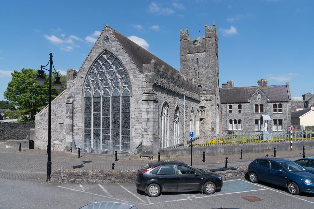 Abbey (in ruins)Religious house, unclassified · 1.3 mi
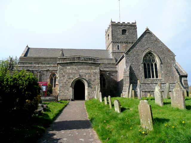 St. Chaddens Church (in ruins)Church · 1.4 mi
 (Site of) CastleCastle, unclassified · 1.5 mi
 Enclosure in Ironmills OR KilrushEnclosure · 1.6 mi
 Graveyard in SraleaghGraveyard · 2.5 mi
 1798 MonumentMemorial · 2.6 mi
 Common LimeCommon Lime · 2.9 mi
 Moat Castle (site of)Archaeological place · 3.0 mi
 Anker's IslandIsland · 3.0 mi
 Donaghmore WellSpring · 3.9 mi
 Ardra LoopWalking route · 4.2 mi