What is recorded here
On a rise in County Meath, a D-shaped embankment thirty metres long waited for the 1836 map to call it a fort in gothic lettering. A modern cairn now partly covers a grass-covered one, suggesting people kept returning to mark or bury the same spot across centuries. The straight edge leans against an old field bank, implying the enclosure followed rather than fought the land.
Located on a rise in an undulating landscape. A D-shaped embanked enclosure (ext. dims c. 30m NW-SE; c. 20m NE-SW) with the straight side against a NW-SE field bank at SW is depicted only on the 1836 edition of the OS 6-inch map where it is described in gothic lettering as a ‘Fort’. A modern cairn is partly covering a grass-covered cairn.
The above description is derived from the published 'Archaeological Inventory of County Meath' (Dublin: Stationery Office, 1987). In certain instances the entries have been revised and updated in the light of recent research.
Compiled by: Michael Moore
Date of revision: 31 October 2018
The monument record does not grant public access. Check the route and ask the landowner before entering private land.
- What survives
- Recorded monument
Places near here
 mill (water)mill (water) · 400 yd
 IndicatedFairy fort / earthen ringfort · 472 yd
 EnclosureEnclosure, large enclosure · 534 yd
 CastleCastle, unclassified · 535 yd
 The MoatCastle, motte and bailey · 1392 yd
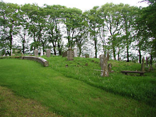 graveyard/cemeterygraveyard/cemetery · 1.0 mi
 European BeechEuropean Beech · 1.0 mi
 Mullaghmeen ForestPicnic place · 1.4 mi
 Mullaghmeen Red WalkWalking route · 1.5 mi
 Mullaghmeen White WalkWalking route · 1.7 mi
 MullaghmeenMountain / peak · 1.8 mi
 Mount FortuneMountain / peak · 3.0 mi