
What is recorded here
Skeagh Cairn stands fifty centuries above the Cork hills, its flat top still catching winter light. Built around 3000 BC, the broad stone mound may have marked midwinter festivals when darkness reached its edge. A smaller ring barrow waits twenty metres north, as if keeping company with the larger shape. Together they preserve a world old enough to make human life feel both brief and at home.
In forestry, near summit of Knocknaskagh. Roughly circular cairn (15m E-W; 14m N-S; H 2.2m) with steep sides and flat top.
The above description is derived from the published 'Archaeological Inventory of County Cork. Volume 4: North Cork' (Dublin: Stationery Office, 2000). In certain instances the entries have been revised and updated in the light of recent research.
Date of upload/revision: 14 January 2009
The monument record does not grant public access. Check the route and ask the landowner before entering private land.
- What survives
- Recorded monument
Places near here
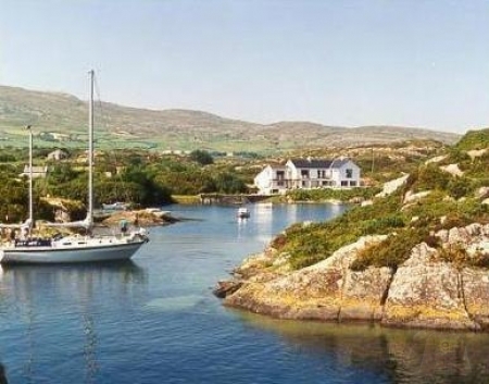 SeehaunnamnafinnaCairn, unclassified · 1257 yd
 Knocknaskagh North TopMountain / peak · 1267 yd
 Liam BurkeMemorial · 1.2 mi
 Castle Blagh (Site of)Castle, unclassified · 1.6 mi
 SeefinMountain / peak · 1.7 mi
 Man-made underground passageMan-made underground passage · 1.8 mi
 Priest's WoodForest · 2.1 mi
 Wood Cottagehouse · 2.1 mi
 Johnson's WoodForest · 2.2 mi
 IndicatedKiln, lime · 2.4 mi
 Castle (in Ruins)Castle, unclassified · 2.7 mi
 Blackwater (Avondhu) WayWalking route · 2.7 mi
Other information
Photo: Credit not shown in the picture search · Rights wording not checked; contact us if this picture should be removed