What is recorded here
Cairn is a low stone mound on a terrace edge in County Carlow, partly swallowed by peat. It belongs to a large group of similar cairns, suggesting people marked that land repeatedly rather than building one lonely monument. The stones may have guided footsteps, bounded a field or honoured someone whose name is gone. What remains is a small ridge of intent, still visible beneath the moss.
On the edge of a terrace, a low mound of stones (c. 3.6m E-W x 1.6m N-S; H c. 0.4m) overgrown with peat. Recorded by Ó Murchú (2011, 70) as part of a Master's thesis (Survey number: C13). One of a large group of cairns (see CW026-019----)
Compiled by: Claire Breen
Date of upload: 30 October 2013
A Neolithic cairn; part of a widespread funerary tradition in Ireland. Its location suggests a possible ritual or territorial function within a broader landscape of monuments.
The monument record does not grant public access. Check the route and ask the landowner before entering private land.
- What survives
- Recorded monument
Places near here
 Enclosure in DranaghEnclosure · 299 yd
 Enclosure in BallycrinniganEnclosure · 723 yd
 CarrigvahanaghMountain / peak · 1526 yd
 White MountainMountain / peak · 1.4 mi
 Saint Moling's Catholic Churchchurch/chapel · 1.7 mi
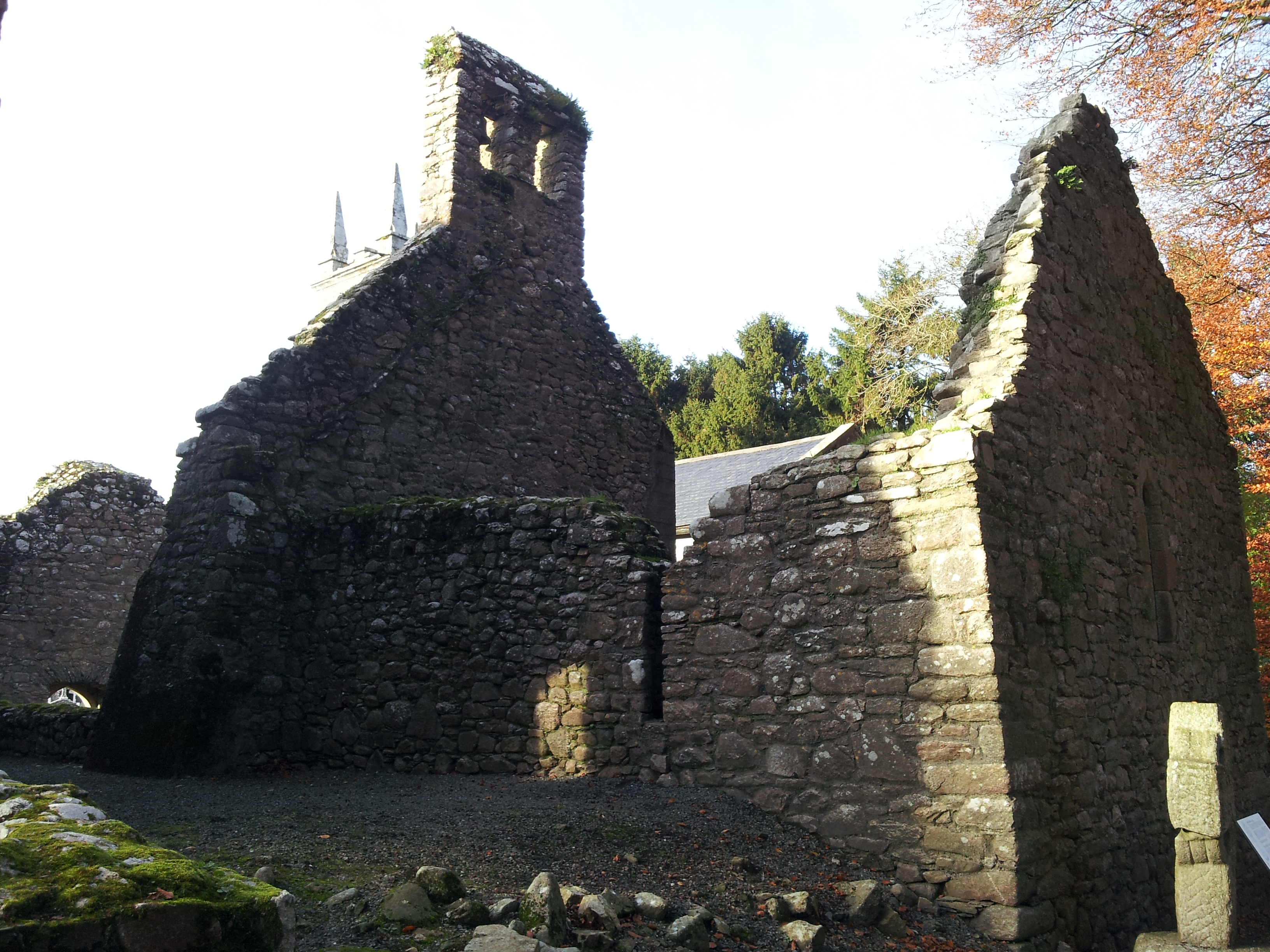 St. Mullins Oratory (in Ruins)Church · 1.9 mi
 Pollmounty Castle (in Ruins)Castle, tower house · 2.2 mi
 1798 RebellionMemorial · 2.3 mi
 Silver WattleSilver Wattle · 2.3 mi
 Graveyard in St. Mullin'sGraveyard · 2.5 mi
 St. Mullins MoatCastle, motte and bailey · 2.6 mi
 Bahana WoodForest · 2.9 mi