What is recorded here
Cairn is a long, low stone mound on a north-west facing terrace in County Carlow, stretching nearly five metres from northeast to southwest. It sits among a larger group of similar mounds, suggesting the terrace once marked a busy ceremonial or burial landscape. Peat has crept across its surface, softening the edges and hiding how many hands first stacked the stones. The shape remains clear enough to show that people valued this exact line of ground.
On a NW facing terrace, a long peat overgrown mound of stones (L c. 4.5m; Wth c. 3m; H c. 0.8m) with its long axis orientated NE-SW. Recorded by Ó Murchú (2011, 70) as part of a Master's thesis (Survey number: C12). One of a large group of cairns (see CW026-019----)
Compiled by: Claire Breen
Date of upload: 30 October 2013
The monument record does not grant public access. Check the route and ask the landowner before entering private land.
- What survives
- Recorded monument
Places near here
 Enclosure in DranaghEnclosure · 285 yd
 Enclosure in BallycrinniganEnclosure · 737 yd
 CarrigvahanaghMountain / peak · 1513 yd
 White MountainMountain / peak · 1.4 mi
 Saint Moling's Catholic Churchchurch/chapel · 1.7 mi
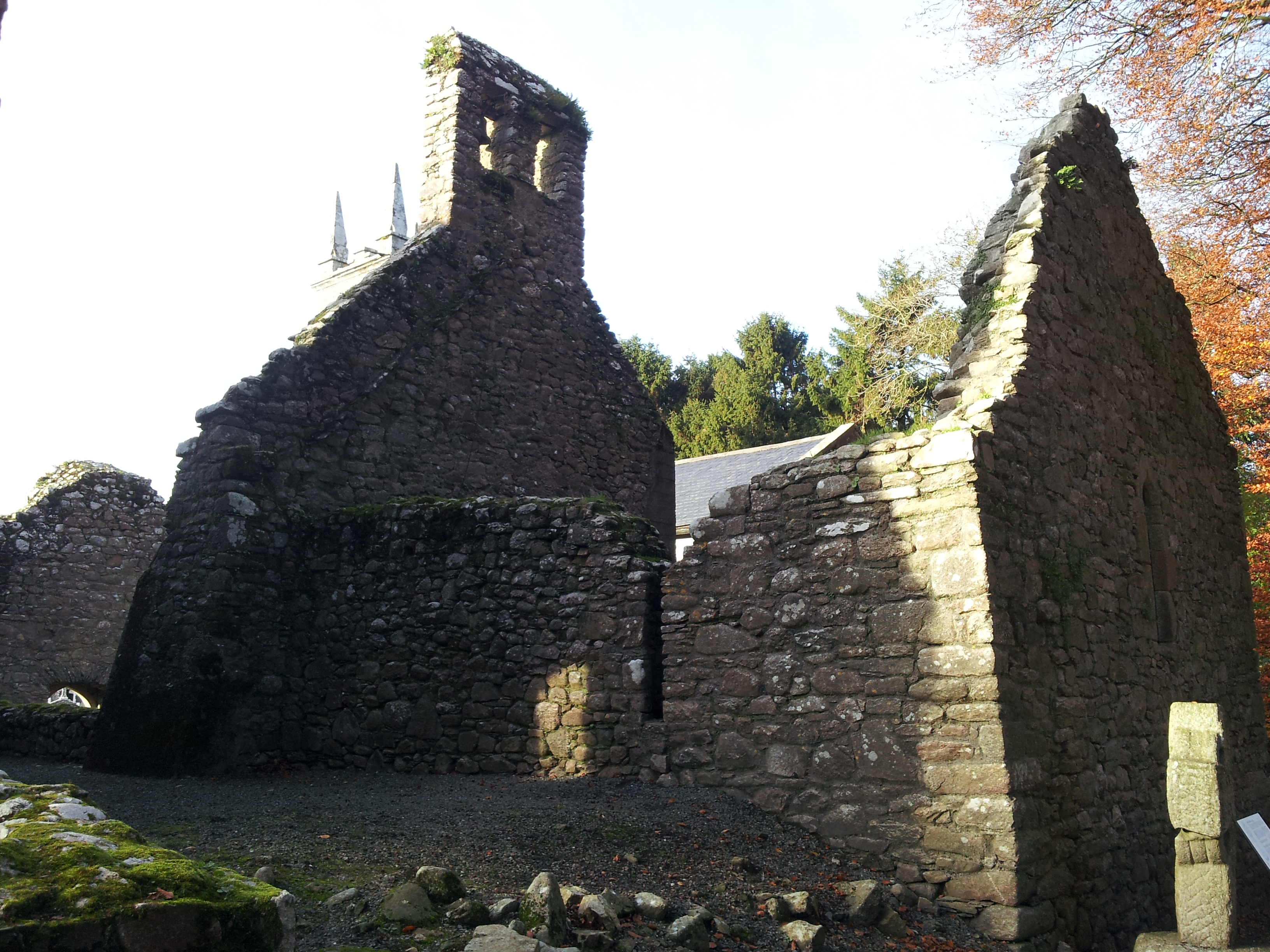 St. Mullins Oratory (in Ruins)Church · 1.9 mi
 Pollmounty Castle (in Ruins)Castle, tower house · 2.2 mi
 1798 RebellionMemorial · 2.2 mi
 Silver WattleSilver Wattle · 2.3 mi
 Graveyard in St. Mullin'sGraveyard · 2.5 mi
 St. Mullins MoatCastle, motte and bailey · 2.6 mi
 Bahana WoodForest · 2.9 mi