What is recorded here
Carrickedmond, County Louth: a field where a burial cairn vanished. Wright saw a circular mound holding human bones in 1758; farms, weather and forgetting took the rest. Evans later excavated what could still be found, and the state preserved the memory. The dead are gone, but the shape of the loss remains sharp.
Recorded as 'Cairn A' and excavated by Evans (see LH004-032----).
This monument is subject to a preservation order made under the National Monuments Acts 1930 to 2014 (PO no. 36/1934) and is also a National Monument in state guardianship, No. 326
The above description is derived from both the published 'Archaeological Inventory of County Louth' (Dublin: Stationery Office, 1986) and the 'Archaeological Survey of County Louth' (Dublin: Stationery Office, 1991). In certain instances the entries have been revised and updated in the light of recent research.
Date of upload/revision: 17 July 2007
The monument record does not grant public access. Check the route and ask the landowner before entering private land.
- What survives
- Recorded monument
Places near here
 Megalithic StructurePortal tomb · 1 yd
 CairnCourt tomb · 51 yd
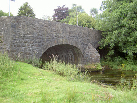 Curralhir Bridgebridge · 1034 yd
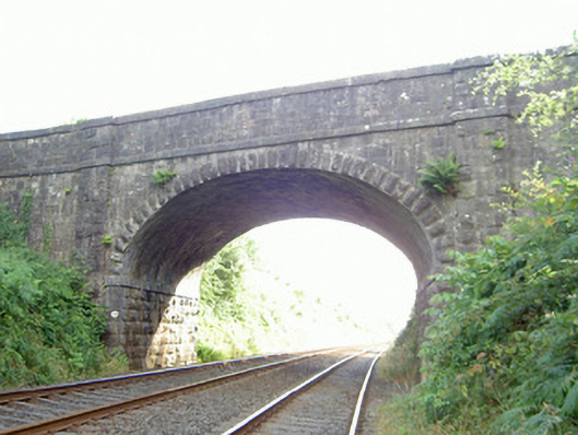 bridgebridge · 1161 yd
 Feede MountainMountain / peak · 1263 yd
 KILNASAGGART INSCRIBED PILLAR STONE & CEMETERY with 6 CROSS-CARVED STONES: CELL NA SACART in EdenappaKILNASAGGART INSCRIBED PILLAR STONE & CEMETERY with 6 CROSS-CARVED STONES: CELL NA SACART · 1.1 mi
 Moyry CastleCastle · 1.3 mi
 CASTLE & BAWN: MOYRY or MOIRY CASTLE in CarrickbroadCASTLE & BAWN: MOYRY or MOIRY CASTLE · 1.3 mi
 Ravensdale LoopWalking route · 1.3 mi
 Faughart MoundCastle, motte · 1.3 mi
 The Ben RockMountain / peak · 1.4 mi
 Ravensdale ForestForest · 1.6 mi