What is recorded here
Nine metres west of the inauguration mound, a buried chamber or forgotten offering chamber may still hold its shape beneath grass and river mist. The flat top, narrow ramp and facing stones suggest people climbed deliberately, perhaps to place something valuable or witness something important before leaving. Hell River has likely taken more than it gave, but the cairn remains visible enough to mark the boundary between human intention and regional loss.
In low-lying position of the NE bank of the NW-SE Hell River and 9m W of the inauguration mound (CL034-095001-/CL034-095007-). A subrectangular overgrown cairn (dims. of base 21m N-S; 12m E-W; H 1.6-2.2m) with a flat top (5m N-S; 4m E-W). There are facing stones (H 0.3m) at N and S, and there is an earthen ramp (dims. of base 10m N-S; 6m E-W; Wth of top 3m E-W; max. H 1.4m) with external walling (H 0.3m) along the W side leading up to the top from the S.
Compiled by: Michael Moore and Leo Morahan
Date of upload: 19 June 2018
A Neolithic cairn, likely dating to the early to middle Neolithic period (c. 4000–3000 BCE), associated with ritual or burial practices. Its proximity to an inauguration mound suggests possible ceremonial or symbolic significance in the landscape.
The monument record does not grant public access. Check the route and ask the landowner before entering private land.
- What survives
- Recorded monument
Places near here
 Magh AdhairArchaeological place · 42 yd
 Toberlanniv Holy WellHoly well · 160 yd
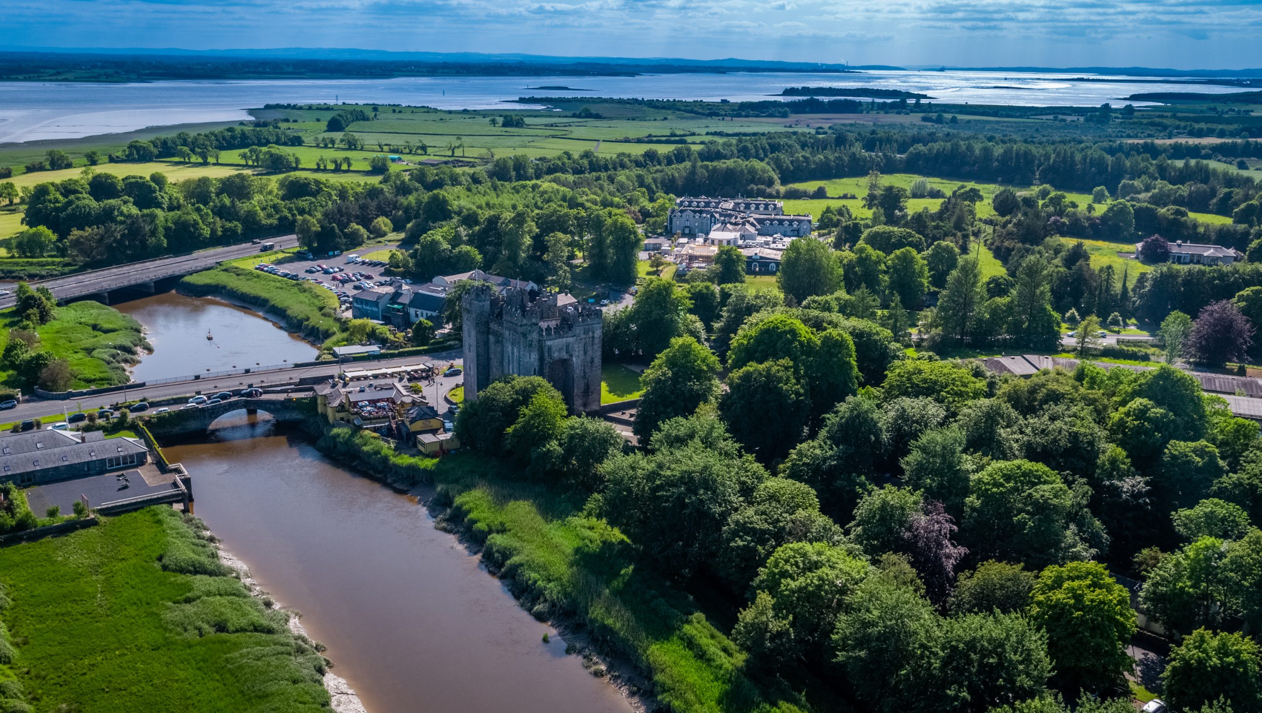 Toonagh Castle (Site of)Castle, unclassified · 615 yd
 Toonagh Househouse · 748 yd
 Corbally Castle (Site of)Castle, unclassified · 1.0 mi
 Shankill Church (in ruins)Church · 1.2 mi
 Cloghleagh RockNamed rock · 1.7 mi
 Quin AbbeyHeritage attraction · 2.1 mi
 The RingfortHeritage attraction · 2.5 mi
 Kilcatherine GraveyardWood · 3.7 mi
 Mooghaun WoodsWood · 4.7 mi
 CahercallaFairy fort / stone ringfort · 602 yd