What is recorded here
On a gentle SW-facing, lower slope of Sorrell Hill, overlooking a valley formed by Black Hill to the S. In an area of open mountain grazing outside modernly enclosed land. A complex of six hut sites (WI010-059001- to WI010-059005- and WI010-059008-), clearance cairns (WI010-059006-) and field boundary walls (WI010-059007-) lies within a relatively small and well-defined area, bounded by a small stream at the SE, and at the NW by a NE-SW field boundary, which is probably 19th century in date. At the SE end of the group an L-shaped stone wall is probably the remains of a modern sheep pen. Otherwise, the hut sites, clearance cairns and stone walls appear to be contemporary, and are likely to represent booleying or transhumance of an early date, perhaps during the Early Christian period. The hut sites are scattered in a roughly linear fashion along the edge of a well-defined scarp, where the ground falls away into boggy, wet ground. Above the hut sites are a group of some seven clearance cairns (av. diams. 2.5m; av. H 0.3m) which include two larger clearance cairns (WI010-059006-), one of which (dims. L 8m; Wth 6m; H 0.6m) is located close to hut site B (WI010-059002-).
Compiled by: Gearóid Conroy and Matt Kelleher
Date of upload: 18 December 2012
A clearance cairn, likely dating to the Neolithic or Early Bronze Age; such cairns often mark the clearance of stone for field systems. Its significance lies in reflecting early land management practices in upland areas.
The monument record does not grant public access. Check the route and ask the landowner before entering private land.
- What survives
- Recorded monument
Places near here
 Enclosure in KilbegEnclosure · 1036 yd
 Sorrel HillMountain / peak · 1088 yd
 Cross in KilbegCross · 1565 yd
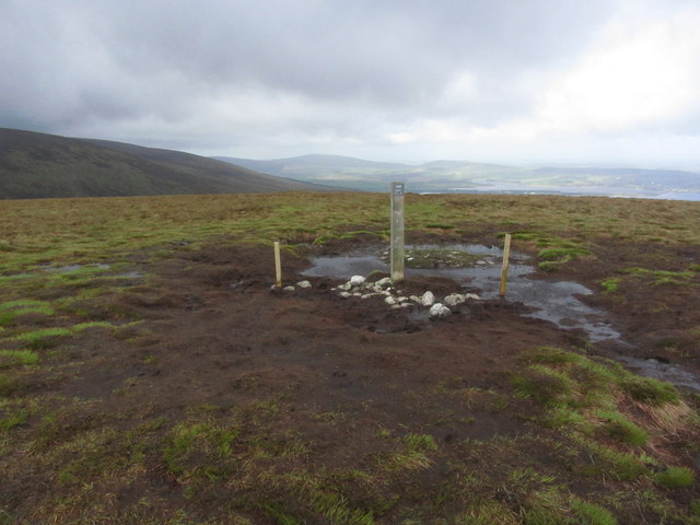 Black HillMountain / peak · 1.2 mi
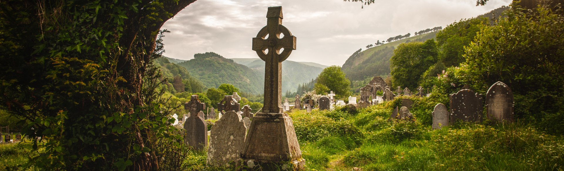 Templebodin Ch. (in Ruins)Church · 1.4 mi
 Lacken – Mass Path LoopWalking route · 1.5 mi
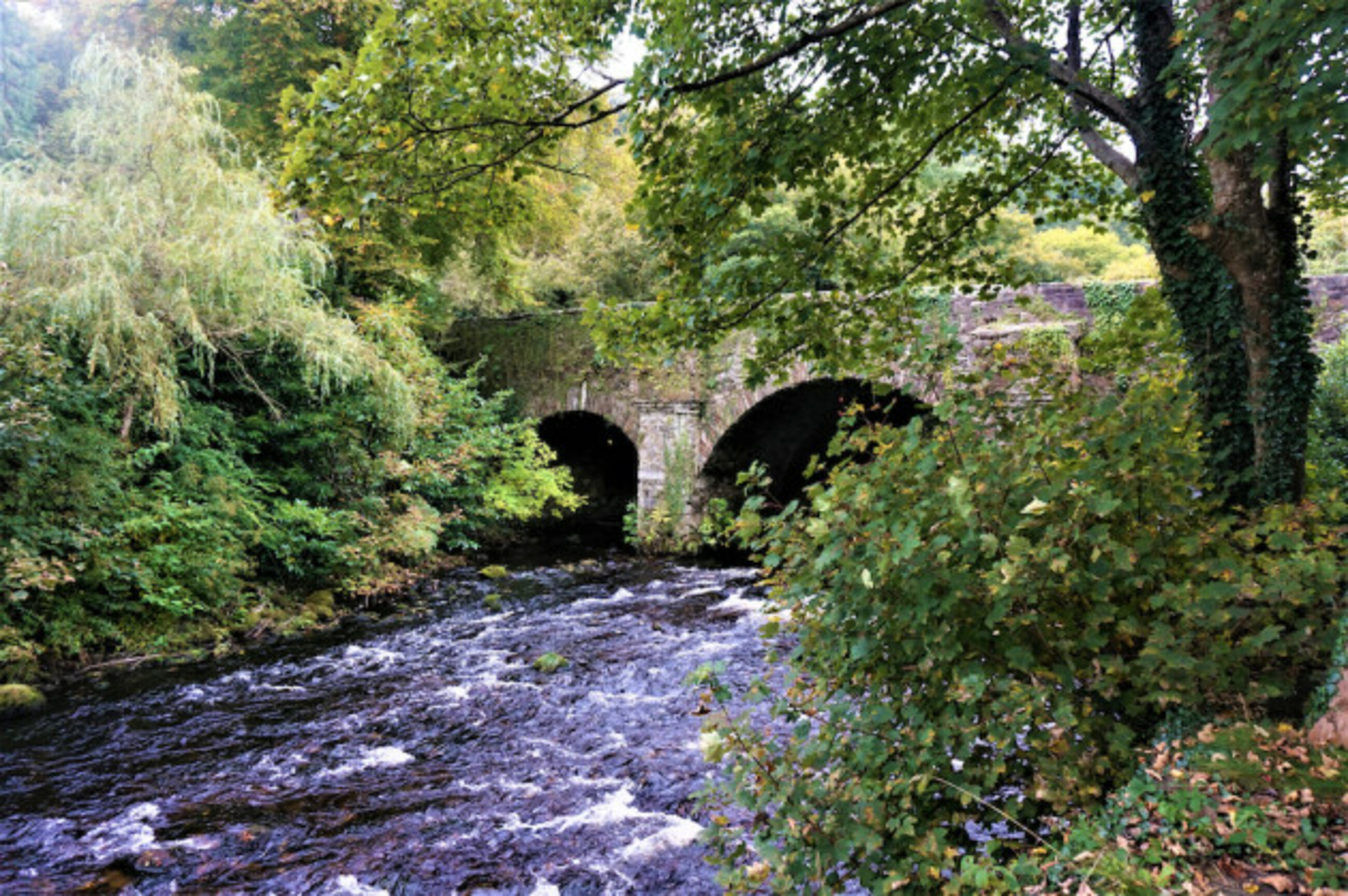 Athdown MoatCastle, motte · 2.6 mi
 OldcourtMemorial · 2.7 mi
 Site of CastleCastle, unclassified · 2.8 mi
 Land Grabber MemorialRuins · 3.1 mi
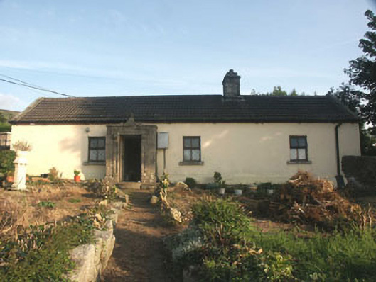 Saint Anthony'shouse · 3.1 mi
 Scots PineScots Pine · 3.4 mi