What is recorded here
Cairn is a cairn, clearance cairn in Clooneenbaun, County Roscommon, Ireland. It appears only on the 1928 edition of the OS 6-inch map and occupies a gentle north-facing slope. The kidney-shaped mound holds limestone blocks, stretches 12.6 metres from northeast to southwest, spans 5.6 metres from northwest to southeast, and rises 0.75 metres.
Marked only on the 1928 ed. of the OS 6-inch map, and situated on a gentle N-facing slope. This is a kidney-shaped grass-covered mound of limestone blocks (dims 12.6m NE-SW; 5.6m NW-SE; H 0.75m). It may be a clearance cairn.
Compiled by: Michael Moore
Date of upload: 24 August 2010
Clearance cairn, likely post-medieval in date. Its significance lies in reflecting agricultural land clearance practices rather than prehistoric funerary tradition.
The monument record does not grant public access. Check the route and ask the landowner before entering private land.
- What survives
- Recorded monument
Places near here
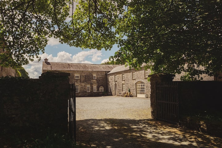 Embanked enclosureFairy fort / earthen ringfort · 1574 yd
 IndicatedFairy fort / earthen ringfort · 1599 yd
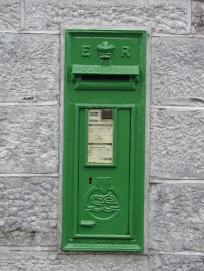 post boxpost box · 1.3 mi
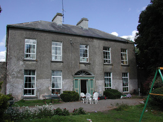 Ballymacurly Househouse · 1.8 mi
 HawthornHawthorn · 3.3 mi
 Roscommon CastleCastle · 3.8 mi
 European ashEuropean ash · 4.1 mi
 Leitrim CastleCastle, unclassified · 4.9 mi
 CastleCastle, unclassified · 5.1 mi
 Sally IslandIslet · 7.5 mi
 Site of Killomaine Grave YardArchaeological place · 7.7 mi
 Mount MaryMountain / peak · 8.9 mi