What is recorded here
Kye holds two cairns: a small clearance heap where a cross-slab once stood and a larger oval mound born from lake drainage. The larger one measures thirty-six metres north to south, twenty-eight and a half east to west, with a levelled top twenty-three by fourteen and a half metres. It rises beside Pollacat Well, near a second cairn and an earthwork, on ground that was once water. The cluster suggests repeated use across centuries, though no written account preserves the hands that shaped it.
Towards the bottom of a S-facing slope. A grass-covered cairn (dims 5m E-W; 2.7m N-S; H 0.55m), probably a clearance cairn, is where the cross-slab (RO040-014002-) was kept.
Compiled by: Michael Moore
Date of upload: 24 August 2010
The monument record does not grant public access. Check the route and ask the landowner before entering private land.
- What survives
- Recorded monument
Places near here
 Ecclesiastical enclosure in BallinaboyEcclesiastical enclosure · 1 yd
 St Bridgets WellHoly well · 566 yd
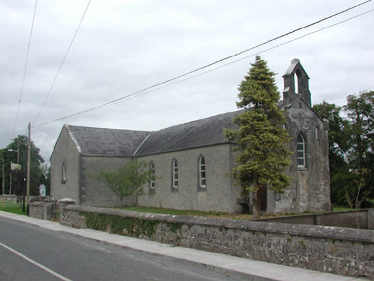 Kilteevan Community Centrechurch/chapel · 1514 yd
 Church (in Ruins)Church · 1.1 mi
 CastleCastle, unclassified · 1.5 mi
 Big IslandForest · 2.5 mi
 Roscommon CastleCastle · 2.8 mi
 Derrydonnell ForestForest · 2.8 mi
 FerrinchIslet · 3.5 mi
 Bushy IslandIslet · 4.2 mi
 Cruit BayBay · 4.7 mi
 Hangman's HillMountain / peak · 4.8 mi