What is recorded here
In improved, level pasture. Flat topped mound (dims. 12.2m N-S; 8m E-W) of earth and stone with gentle sides (max. H 0.8m) defined at base by kerbing of upright sandstones at NW and SW. Four stones (two large and two small) at NW and two stones (one fallen over and one fixed) at SW. Linear arrangement of stones extending from top to base of mound at SE. Mature sycamore tree growing on top of mound has stones at base. Shallow depression is c. 24m to SE.
Compiled by: Jean Farrelly
Date of upload: 26 August 2011
Cairn circle, likely dating to the Neolithic or early Bronze Age. Its kerbed structure and positioning suggest ritual or funerary significance, typical of ceremonial monuments in the region.
The monument record does not grant public access. Check the route and ask the landowner before entering private land.
- What survives
- Recorded monument
Places near here
 Enclosure in MoghEnclosure · 174 yd
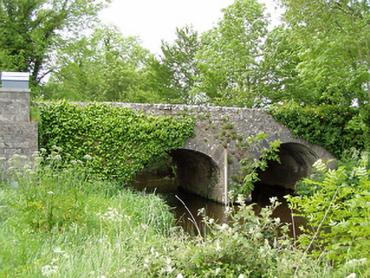 Ballinaclogh Bridgebridge · 332 yd
 Enclosure in Ballinaclogh (relickmurray & Athassel Par.)Enclosure · 338 yd
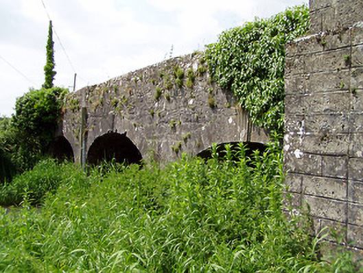 Aughnagross Bridgebridge · 459 yd
 Bawn in Ballinaclogh (rathlynin Par.)Bawn · 649 yd
 Castle (in ruins)Castle, tower house · 1578 yd
 European ashEuropean ash · 1.3 mi
 Dundrum Woods (Marl Bog)Forest · 2.8 mi
 Athassel PrioryHeritage attraction · 3.3 mi
 The RockViewpoint · 8.2 mi
 Christ the KingViewpoint · 8.9 mi
 Glen of AherlowViewpoint · 8.9 mi