
What is recorded here
Cairn is a burial mound in County Limerick, Ireland, where human remains may have been placed beside the River Deel and Shannon Estuary. Its oval shape still appears in satellite images, though it never appeared on older maps. The stones may have marked a life, a loss, or a boundary between people and water.
In low-lying, gently undulating pasture, overlooking the River Deel c. 0.9km to E and the Shannon Estuary to N. A second similar feature (LI010-125----) lies approx. 90m to S. Not depicted on OS historic mapping. Identified is Site 2 in 1999 as a possible enclosure by Celie O’Rahilly when walking the route of a proposed ESB power line. Monument is visible as an irregular oval-shaped stony area on Digital Globe orthophotos taken 2011-13 and on Google Earth orthoimages taken 08/04/2015.
See attached Google Earth orthoimages
Compiled by: Alison McQueen and Vera Rahilly
Date of upload: 6 July 2020
Burial cairn, likely dating to the Neolithic or Early Bronze Age. Its location near the River Deel and Shannon Estuary suggests a possible ritual or funerary significance in a landscape with potential for wider ceremonial use.
The monument record does not grant public access. Check the route and ask the landowner before entering private land.
- What survives
- Recorded monument
Places near here
 Megalithic structure in Tomdeely NorthMegalithic structure · 215 yd
 Settlement desertedSettlement deserted, medieval · 286 yd
 Tomdeely CastleCastle · 292 yd
 Holly IslandIslet · 956 yd
 Ballynash CastleCastle, unclassified · 1644 yd
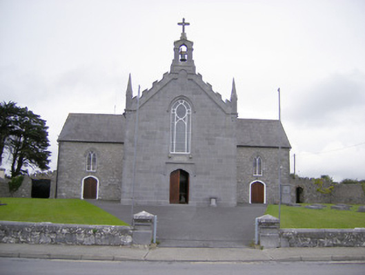 Saint Mary's Catholic Churchchurch/chapel · 1.1 mi
 Abbey (in ruinsReligious house, Franciscan friars · 1.1 mi
 Askeaton CastleHeritage attraction · 1.3 mi
 Greenish IslandIslet · 1.4 mi
 Courtbrown PointHeadland · 1.7 mi
 Herring RockNamed rock · 2.5 mi
 Foynes Flying Boat & Maritime MuseumMuseum · 4.8 mi
Other information
Photo: Credit not shown in the picture search · Rights wording not checked; contact us if this picture should be removed