What is recorded here
Cairn is a cairn, burial cairn in Camcuill, County Sligo, Ireland. It sits in a thicket of gorse bushes within a broad, flat expanse of heather and rush-covered bog near the Easkey River. A low, roughly oval concentration of moss and sod-covered stones spans about twelve metres east-west and seven metres north-south. Several large stones protrude from the uneven surface, especially along the northern perimeter where they become entangled in twisting gorse roots.
In a thicket of gorse bushes, located in a broad, flat expanse of heather and rush-covered bog in the valley of the Easkey River. The river is c. 400m to E. There is a portal tomb (SL017-021----) c. 80m to ESE. A low, roughly oval concentration or cairn (c. 12m E–W; c. 7m N–S) of moss and sod-covered stones, partly submerged in flat, boggy ground. The surface is uneven, rising and falling in irregular-shaped humps and hollows. Several large stones protrude from the surface, especially along the N perimeter, many entangled in the twisting roots of gorse bushes. At the E end of the cairn, there is a roughly square, vertical-sided pit (1.4m N–S; c. 1.4m E–W; D 0.4m) sunk into the peat. The W side of the pit is faced with a single upright slab (L at least 1.2m N–S). Its height above the wet peat which forms the floor of the cavity is 0.4m but it is set to a depth of at least 0.2m into the peat. The N side of the cavity is faced with drystone walling (H 0.4m above peat) consisting of five courses of thin, horizontally laid slabs. On the S side of the cavity are a number of close-set, medium-sized stones. Covering the cavity is a large capstone (L c. 1.2m N–S; c. 1.3m E–W; T 0.2m). The top of the slab is flush with surface ground level. It rests on the N and S side walls but there is a gap between it and the W side wall. The under-surface of the slab can be seen to slope sharply downwards so that its E end is level with the floor of the pit, thus obscuring that side of the pit. Located 5m to W of the stone-lined pit, a boulder (1.5m N–S; 1m E–W; H 0.4m) protrudes from a hollow in the cairn surface. It rests on a number of smaller stones and overlies a small cavity. A further 1.5m to W of this, there is a stone bank or ‘wall’ (Wth 2-2.4m; H 0.4-0.6m) of loose, jumbled stones, which defines the W end of the cairn, describing a shallow arc S-W–N. A few isolated upright stones protrude from the bog c. 2m to W of the cairn.
Compiled by: Jane O'Shaughnessy
Date of upload: 17 April 2014
Neolithic burial cairn, dating to c. 4000–2500 BCE. Its location near a portal tomb suggests it is part of a broader ceremonial landscape associated with early farming communities.
The monument record does not grant public access. Check the route and ask the landowner before entering private land.
- What survives
- Recorded monument
Places near here
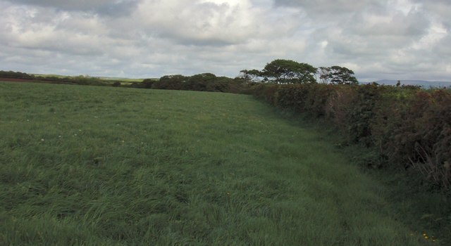 Field boundary in BellafarneyField boundary · 161 yd
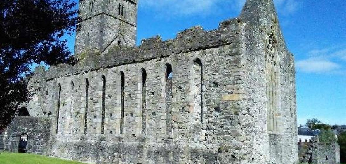 Enclosure in BellafarneyEnclosure · 259 yd
 Camphill Househouse · 1326 yd
 Dromore West Union WorkhouseRuins · 1.3 mi
 Ballynahowna CastleCastle, tower house · 1.6 mi
 CastleCastle, unclassified · 1.8 mi
 Split RockNamed rock · 3.3 mi
 DonaghHeadland · 3.9 mi
 Jim Smith MemorialMemorial · 4.5 mi
 Wild Atlantic Way: Easky PierVisitor information · 4.6 mi
 AnnatoranMountain / peak · 6.4 mi
 Grave of the Black PigArchaeological place · 6.8 mi