
What is recorded here
Situated on top of a mountain with good views in all directions. Irregular shaped stone cairn consisting of a circular tower built of overlapping stones which appears to have been constructed in the 19th century as a county boundary marker by the OS. This monument marks the border between Offaly and Laois and is used as a Trigonometrical station to mark a bench mark. Piles of stones resembling small cairns to the N and S also mark the line of the county boundary.
The above description is derived from the published 'Archaeological Inventory of County Offaly' (Dublin: Stationery Office, 1997). In certain instances the entries have been revised and updated in the light of recent research.
Date of upload: 23 May 2011
The monument record does not grant public access. Check the route and ask the landowner before entering private land.
- What survives
- Recorded monument
Places near here
 FarbreagueMountain / peak · 261 yd
 PileCairn, boundary cairn · 424 yd
 CairnCairn, unclassified · 541 yd
 Tulla Castle (site of)Archaeological place · 1.9 mi
 Site of Tulla CastleCastle, unclassified · 1.9 mi
 ArderinMountain / peak · 2.0 mi
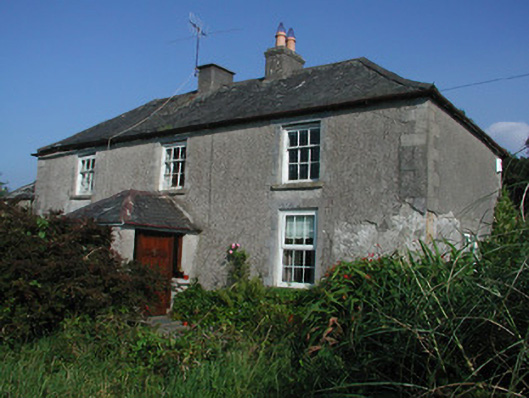 Tulla Housefarm house · 2.0 mi
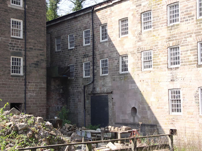 MillMill, unclassified · 2.4 mi
 Kinnitty ForestForest · 3.6 mi
 Saint Dominick's WellSpring · 3.6 mi
 Grange WoodWood · 4.1 mi
 Leap CastleCastle · 4.6 mi
Other information
Photo: Credit not shown in the picture search · Rights wording not checked; contact us if this picture should be removed