What is recorded here
From the National Monuments Service (Archaeological Survey of Ireland) record MA094-004001
Places near here
Photo credits
- Maker not stated on source page, en.wikipedia.org
- Maker not stated on source page, www.mayo-ireland.ie
- Maker not stated on source page, www.dreamstime.com
- Colin Park, Geograph · CC BY-SA 2.0
- National Inventory of Architectural Heritage
- Maker not stated on source page, commons.wikimedia.org
- Colin Park, www.geograph.ie
- Oliver Dixon, Geograph · CC BY-SA 2.0
 Penitential station in Caher IslandPenitential station · 211 yd
Explorer Tom This stone pile is planning to retire to Spain after centuries of standing around doing nothing. It wants to learn…
 Leacht in Caher IslandLeacht · 233 yd
Explorer Tom Leacht in Caher Island is a shortcut that takes three weeks instead of three minutes if you’re not careful. The path…
 Standing stone in Caher IslandStanding stone · 265 yd
Explorer Tom Standing stone in Caher Island has a New Year's resolution to stay put for another thousand years or so. It’s probably…
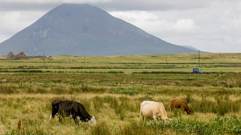 Field system in Caher IslandField system · 317 yd
Explorer Tom Field system in Caher Island has a reputation for hiding treasure, but it’s almost definitely just an old biscuit tin…
 Caher IslandIsland · 586 yd
Explorer Tom Caher Island calls itself the City of the Saints, and the city in question has no streets, shops or resident mayor.…
 Ballybeg IslandIslet · 1569 yd
Explorer Tom Ballybeg Island: I suspect the ghost haunting this place is too lazy to actually haunt it, preferring instead to nap in…
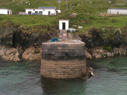 pier/jetty2.9 mi
Explorer Tom Pier or jetty in Garranty was built for an Earl who probably never even touched the wet stuff. It knows its own history…
 St. Columba's Inishturk GraveyardGraveyard · 3.3 mi
Explorer Tom St. Columba's Inishturk Graveyard in County Mayo is currently feuding with the rain because it keeps getting soaked…
 Inisturk GAA pitchGAA ground · 3.6 mi
 InishturkMountain / peak · 3.7 mi
Explorer Tom Inishturk would complain to the council about the lack of proper signage and the terrible parking situation nearby. It…
 Bunlough StrandBeach / strand · 4.6 mi
Explorer Tom Bunlough Strand near Killadoon is the Mayo shore for anyone who suspects a beach ought to have a bit of character, not…
 White StrandBeach / strand · 5.6 mi
Explorer Tom White Strand has a name so simple it feels like a cheat code for finding peace, but don’t let that fool you. It’s…
More archaeology and monuments in County Mayo · All of County Mayo

What do you know about this place?Tap to add a comment or ask a question