What is recorded here
On a low rise of karst pavement with patchy grass cover, land sloping to W and E, within a large multiperiod field system (CL009-059001-). Hachured and named ‘Cahernaspeekee’ on the 1842 and 1920 eds. of the OS 6-inch map. Labelled ‘Cathair na Spící’ on Robinson’s map (1977). The authenticity of the name was…
Read the whole record
From the National Monuments Service (Archaeological Survey of Ireland) record CL009-059054
Places near here
Photo credits
- Maker not stated on source page, www.youtube.com
- Maker not stated on source page, en.wikipedia.org
- Maker not stated on source page, www.flickr.com
- Maker not stated on source page, www.airbnb.ca
- Oliver Dixon, Wikimedia Commons · CC BY-SA 2.0
- Maker not stated on source page, en.m.wikipedia.org
- Maker not stated on source page, monumentalireland.ie
- Roger Diel, Geograph · CC BY-SA 2.0
- National Inventory of Architectural Heritage
- N Chadwick, Geograph · CC BY-SA 2.0
- Colin Park, Geograph · CC BY-SA 2.0
 Court tomb in Ballyganner NorthCourt tomb · 472 yd
Explorer Tom The Court tomb in Ballyganner North was probably built by a guy who really hated geometry and just threw rocks until it…
 Wedge tomb in Ballyganner NorthWedge tomb · 717 yd
Explorer Tom This Wedge tomb in Ballyganner North is the one that a local claims he invented while trying to fix his tractor. Only…
 Fairy fort / stone ringfort in Ballyganner NorthFairy fort / stone ringfort · 1042 yd
Explorer Tom Fairy fort / stone ringfort in Ballyganner North overlooks a valley and has a collapsed wall. It would tell its younger…
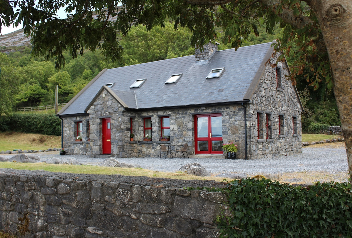 Cist in Ballyganner SouthCist · 1160 yd
Explorer Tom Cist in Ballyganner South is just sitting there, wondering why the wind keeps picking on it for being small. It’s…
 Noughaval Church (in ruins)Church · 1243 yd
Explorer Tom Noughaval Church is being picked on by the wind because it stands right on the edge of a slope, which means it gets…
 Enclosure in BallyhomultaEnclosure · 1320 yd
Explorer Tom Ballyhomulta’s third enclosure claims to be older than the concept of time itself, which is a bold claim for a patch of…
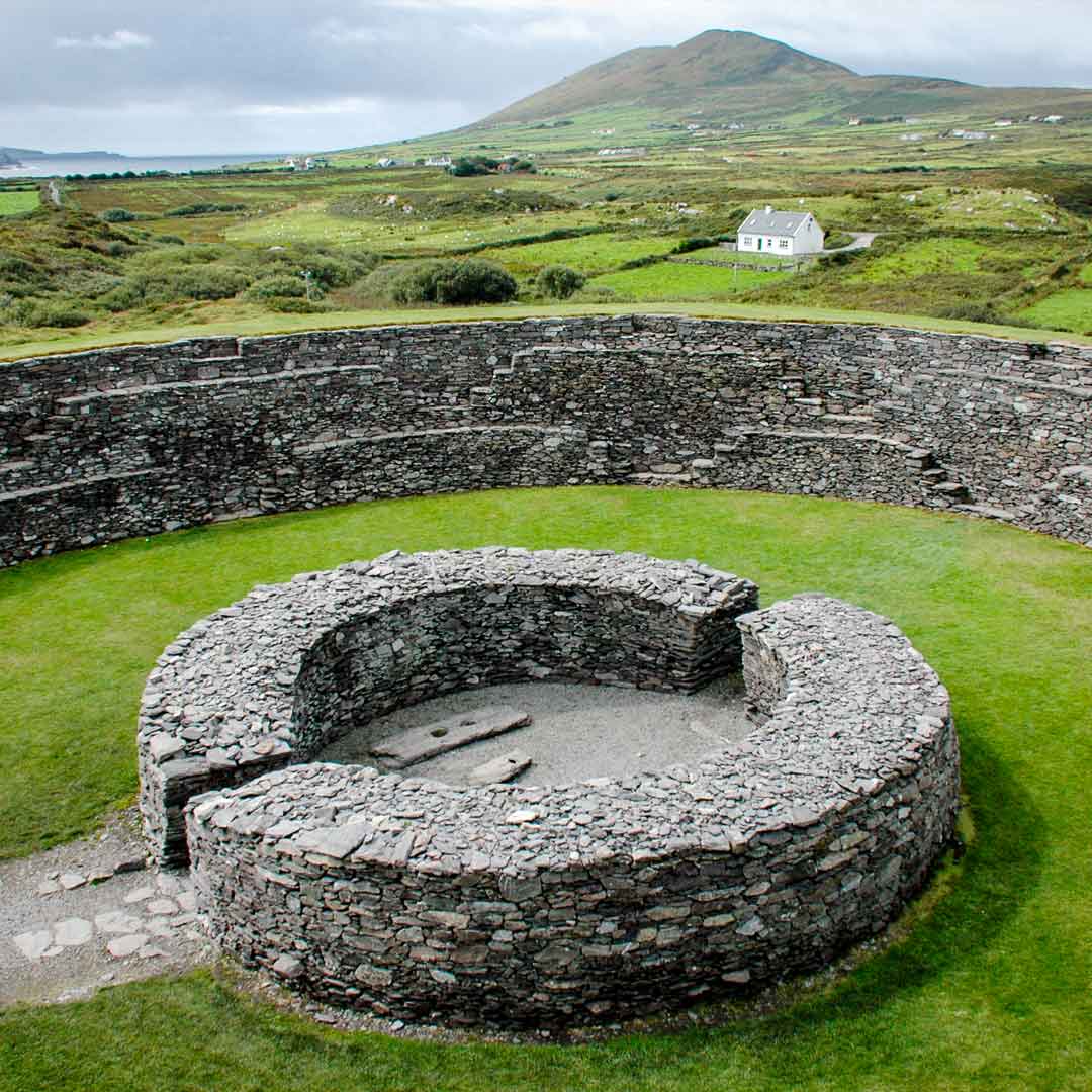 Fairy fort / stone ringfort in Ballyganner SouthFairy fort / stone ringfort · 1342 yd
Explorer Tom Fairy fort / stone ringfort in Ballyganner South claims a local invented it to keep cows in. The wall is collapsed…
 Ballyganner CastleCastle · 1356 yd
Explorer Tom Ballyganner Castle’s builder was probably thinking about what to have for dinner while laying these stones. He wasn’t…
Ballyganner Castle (in ruins)Castle, tower house · 1360 ydExplorer Tom Ballyganner Castle in Ballyganner South is stuck in a feud with the rain, and the weather is winning badly. It’s…
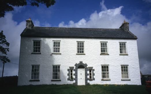 Hollywell HouseFarm house · 1.7 mi
Explorer Tom Hollywell House in Maryville, County Clare, had its top floor chopped off around 1910 because it got too tall for its…
 High CrossHeritage attraction · 2.3 mi
Explorer Tom This High Cross had a moment where a fox took charge of the whole site, sitting on top of it looking like a tiny…
 Burren Centre KilfenoraVisitor information · 2.3 mi
Explorer Tom The Burren Centre in Kilfenora is a sensible first stop before trying to make sense of north Clare's limestone hills. I…
More archaeology and monuments in County Clare · All of County Clare

What do you know about this place?Tap to add a comment or ask a question