DDiscover AloneMapAbout

Cahernasbunnog

Fairy fort / stone ringfort
Computer-made picture that does not show CahernasbunnogNot a photo of this monument
Computer-made picture. It does not show this monument. · Report the wrong picture

The monument record does not grant public access. Check the route and ask the landowner before entering private land.

What do you know about this place?Tap to add a comment or ask a question

What you write will be public.

What is recorded here

In pasture, occupying a low rise incorporating bedrock, with good views over the surrounding gently undulating limestone grassland. This cashel is named ‘Cahernasbunnog’on the 1838 and 1930 OS 6-inch maps. It had already been greatly damaged by the early 1900's when Knox (1911, 111-2) recorded it as follows: ‘The…

Read the whole record
In pasture, occupying a low rise incorporating bedrock, with good views over the surrounding gently undulating limestone grassland. This cashel is named ‘Cahernasbunnog’on the 1838 and 1930 OS 6-inch maps. It had already been greatly damaged by the early 1900's when Knox (1911, 111-2) recorded it as follows: ‘The walls were as high as a man fifty years ago, but have been nearly all removed. The great inner ring wall, enclosing a space about 100 feet [30m] in diameter, was 13 feet [c. 4m] thick in three sections. The inner section had two faces. Outside it was built in a single face, and stones thrown in against the face of the inner ring. Another face was built outside this, and stones thrown in as before…Outside this greater wall are traces of two thin walls, with narrow spaces between.’ An originally roughly circular area (int. diam. 31.6m N–S; c. 29-30m E–W), truncated now at the E, is enclosed on the W half by the remains of two, possibly three enclosing walls with at least one intervening fosse. Past disturbance and robbing of the walls has reduced them to low, intermittent sod-covered rises which are difficult to trace. On the E half all the enclosing elements have been removed and the cashel truncated to a linear scarp. A concrete farmyard, with a silage pit and sheds, overlies the SE edge of the cashel. The innermost enclosing wall is evident as a broad, low sod-covered stony rise (Wth 6-7m) which slumps into the interior. It is most substantial at S–SW, becoming less distinct at W−N where it is marked by a growth of nettles. The outer edge of this slumped rise is defined intermittently at S–W by a basal course of stone facing consisting of massive contiguous horizontally-laid limestone slabs. Immediately outside the stone facing is another stone bank (Wth 1.5-1.8m). The stone facing, therefore, intervenes between two stone banks. This is difficult to interpret but may confirm Knox’s description of the inner wall of the cashel being ‘13 feet thick in three sections’ with an outer section built against the stone facing of an inner section. A gap or fosse (Wth 2-2.5m) intervenes between the inner enclosing wall and a second low stone bank/wall (Wth 1.8-2m; max. int. H 0.5m; ext. H 0.45m-0.5m) which can be traced in various degrees of preservation, the best preserved portion being at NNW−N. Outside the second wall there is a berm or terrace (Wth 2-2.5m), the outer scarp of which is faced with upright limestone slabs, which may represent the third enclosing wall noted by Knox. The interior is fairly level, and appears slightly raised above exterior ground level, the result of utilisation of a natural rise. A ruined field wall, evident as sod-covered wall footings (Wth c. 0.6m), crosses the interior on a ENE–WSW axis. In the W half there is a rectangular pit (E–W 2m; 6m N–S; D 0.5m) which extends N–S along the inner face of the stone bank. It is partly filled with loose stone and debris, and obscured by a dense growth of nettles. At its N end a sod-covered heap of stones (Wth 1.7m) separates it from a shallower stony pit or depression (4m E–W; 4.5m N–S; D 0.2m) which extends to the E. These features appear to be the result of relatively recent quarrying; the shallower pit appears to cut the relict field wall that crosses the interior. Clumps of nettles and thistles, and hawthorn bushes ring the perimeter.

From the National Monuments Service (Archaeological Survey of Ireland) record MA111-053

Places near here

Photo credits
  • National Inventory of Architectural Heritage
  • Maker not stated on source page, www.airbnb.co.in
  • Maker not stated on source page, www.pinterest.com
  • Kmcnamee, Wikimedia Commons · CC BY-SA 4.0
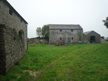
BushfieldFarmyard complex · 706 yd

Explorer Tom Bushfield is a farmyard complex that looks like it’s been left alone to develop its own unique personality, and…
rectory/glebe/vicarage/curate's house1026 yd

Explorer Tom Rectory in Kilcommon is the kind of house that was paid for by a board called First Fruits, which sounds like a very…
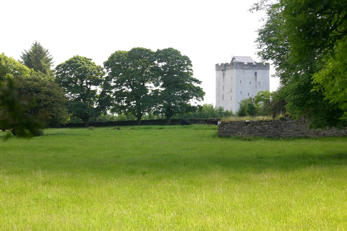
CastleCastle, unclassified · 1591 yd

Explorer Tom This castle in Lissatava survives storms by simply refusing to acknowledge they ever happened. It’s basically a stone…
Annefield HouseGates/railings/walls · 1.2 mi

Explorer Tom Annefield House gates in County Mayo hear everything through their walls, including the neighbors arguing about whose…
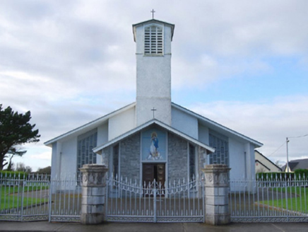
Catholic Church of the Immaculate ConceptionGates/railings/walls · 1.3 mi

Explorer Tom Catholic Church of the Immaculate Conception has a gate that was ripped straight from a fancy estate. It’s basically a…
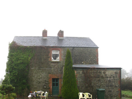
Hollymount Railway StationStation master's house · 1.4 mi

Explorer Tom Hollymount Railway Station Master’s House is deeply suspicious of the postman and has been since 1892. The train line…

Roundfort CemeteryCemetery · 1.5 mi

Explorer Tom Roundfort Cemetery has this whole local legend going around that a giant lived here and just forgot to leave his boots…
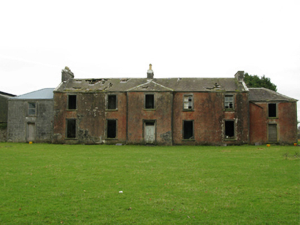
Kilrush HouseSchool · 1.7 mi

Explorer Tom Kilrush House in Kilrush makes a groaning sound at night when the wind hits its 'ostentatious' walls. It was an…
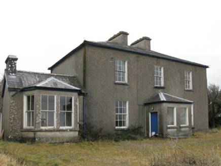
Hollymount Presbyterian ChurchManse · 2.1 mi

Explorer Tom Hollymount Presbyterian Church manse in Kilrush is hiding its late Georgian charm behind a later porch that looks like…

handball alley2.2 mi

Explorer Tom Hollymount handball alley has strict rules: no shoes, no noise, no questions asked. It’s imposing because it demands…
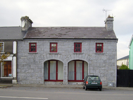
Historic building in KilrushUnknown · 2.2 mi

Explorer Tom Historic building in Kilrush is secretly proud of one specific potato. It looks like a market house but acts like a shy…

Hollymount, Hollymount/Carramore GAAGAA ground · 2.2 mi

More archaeology and monuments in County Mayo · All of County Mayo

Add to this placeAdd a picture Add a detailed tip Add a story

Explore the map1,095,414 places to discover

Next place · or swipeBushfield