What is recorded here
On brow of a rise 150m to S of Dún Formna (GA120-017001-). What survives is a low circular cairn of stones (N-S 15m, E-W 17m, H c. 1.5m), the surface of which is pitted with hollows. It is surrounded by a field wall from SW to NE and by loose piles of small stones elsewhere. Though known locally as Cathair na mBan, its present morphology and siting suggests that it is a heavily robbed hilltop cairn rather than an enclosure. (Anon. 1887, 45; Westropp 1895, 272; Robinson 1980)
The above description is derived from the published 'Archaeological Inventory of County Galway Vol. I - West Galway'. Compiled by Paul Gosling (Dublin: Stationery Office, 1993).
Date of upload: 05 August 2010
The monument record does not grant public access. Check the route and ask the landowner before entering private land.
- What survives
- Recorded monument
Places near here
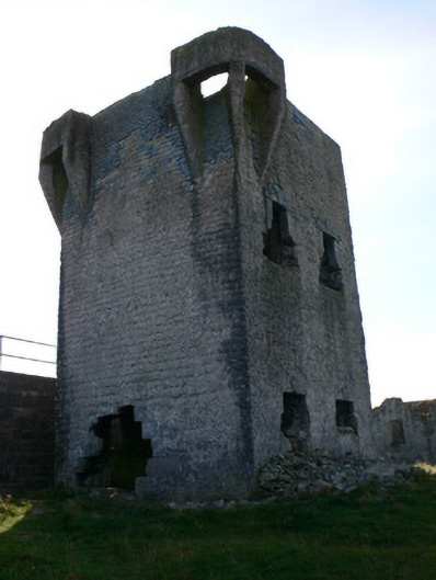 signal towersignal tower · 46 yd
 Caisleán Uí BhriainCastle · 124 yd
 IndicatedFairy fort / stone ringfort · 137 yd
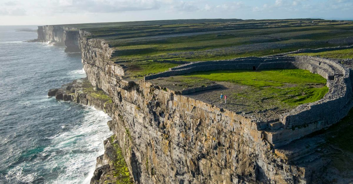 Penitential station in Inis OírrPenitential station · 397 yd
 Creggankeel FortFairy fort / stone ringfort · 461 yd
 Cnoc RaithníHeritage attraction · 569 yd
 Lár na TráBeach / strand · 589 yd
 Port na CilleBeach / strand · 761 yd
 Inis OírrIsland · 852 yd
 Cill GhobnaitHeritage attraction · 944 yd
 Gob na CoraHeadland · 1427 yd
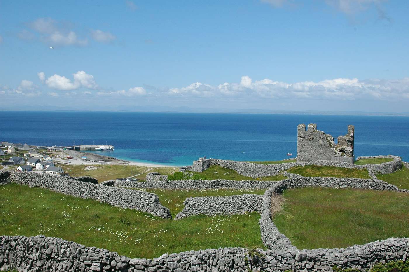 FárdorasHeadland · 1.1 mi