DDiscover AloneMapAbout

Caherman

Fairy fort / stone ringfort
Computer-made picture that does not show CahermanNot a photo of this monument
Computer-made picture. It does not show this monument. · Report the wrong picture

What is recorded here

On a slight rise, within a large multiperiod field system (CL009-001001-), on an undulating upland karst plateau in rough pasture, with views of Slieve Elva to the NW and an ENE–WSW ridge c. 325m to the S. Hachured on the 1842 ed. of the OS 6-inch map, and named ‘Cahermaan’ on the 1920 ed. and the 1897 ed. OS 25-inch…

Read the whole record
On a slight rise, within a large multiperiod field system (CL009-001001-), on an undulating upland karst plateau in rough pasture, with views of Slieve Elva to the NW and an ENE–WSW ridge c. 325m to the S. Hachured on the 1842 ed. of the OS 6-inch map, and named ‘Cahermaan’ on the 1920 ed. and the 1897 ed. OS 25-inch map. Noting this cashel’s relatively small size, Westropp (1915, 54) and Robinson (1977) disagreed with the Ordnance Survey’s assignation of it as Cahermaan cashel (or ‘Cathair medhoin’ [Westropp]; ‘Cathair Meáin’ [Robinson]), ‘first named in 1390’ (Westropp 1915, 54). Both reasonably associate the name with a larger levelled enclosure (CL009-001008-) c. 350m to the NE. A suboval enclosure (22.9m N–S; 21m E–W) defined by a double-faced drystone wall (Wth c. 1.3–1.6m; H c. 1m) of uncoursed medium-sized stones (L 0.3–0.6m; H 0.3–0.4m). The inner facing is mostly concealed by a grass-covered deposit of stones (Wth c. 1.5–2m; H. 0.8–1.1m), except where the cashel wall is broken through by a modern entrance (Wth 1.3m) on the SSW side. The original cashel entrance is not discernible and there are no visible remains in the level, grass-covered interior, which appears to have been cleared. Westropp (1915, 54) described it as being under cultivation. A drystone wall (Wth c. 0.6m; max. H 0.6m) is built over the outer facing of the cashel wall. A rectilinear structure (c. 20m NNE–SSW; c. 2.5m WNW–ENE) with an entrance at its SSW end abuts the SE exterior of the cashel. This is marked as a sheep fold on the 1897 ed. of the OS 25-inch map, and is also drawn on the 1920 ed. of the OS 6-inch map.

From the National Monuments Service (Archaeological Survey of Ireland) record CL009-001007

This remains an important historical record, but the official description says the monument is no longer visible or has been destroyed. The monument record does not grant public access. Check the route and ask the landowner before entering private land.

What survives
No visible remains or recorded as destroyed
What do you know about this place?Tap to add a comment or ask a question

What you write will be public.

Places near here

Photo credits
  • National Inventory of Architectural Heritage
  • Roger Diel, Geograph · CC BY-SA 2.0
  • Oliver Dixon, Wikimedia Commons · CC BY-SA 2.0
  • Gordon Hatton, Geograph · CC BY-SA 2.0
  • N Chadwick, Geograph · CC BY-SA 2.0
  • Graham Horn, Wikimedia Commons · CC BY-SA 2.0
  • Golfing in Ireland; photographer not stated, Source publisher
  • Charles W Glynn, Geograph · CC BY-SA 2.0
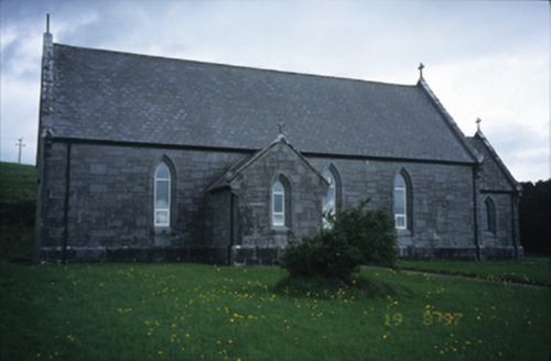
Catholic Church of Our Lady of LourdesChurch/chapel · 1.5 mi

Explorer Tom Catholic Church of Our Lady of Lourdes in Kilmoon West is having a bit of a moment with its limestone, isn’t it? If it…

Site of Lisdoonvarna CastleCastle, tower house · 1.8 mi

Explorer Tom Site of Lisdoonvarna Castle would be a total disaster on a reality show, probably losing its footing in episode one.…

Noughaval Church (in ruins)Church · 2.5 mi

Explorer Tom Noughaval Church is being picked on by the wind because it stands right on the edge of a slope, which means it gets…

Smithstown Castle (in ruins)Castle, tower house · 4.0 mi

Explorer Tom Smithstown Castle on a rocky outcrop is officially gone, but I swear it’s just napping. It thinks Dublin tourists are…
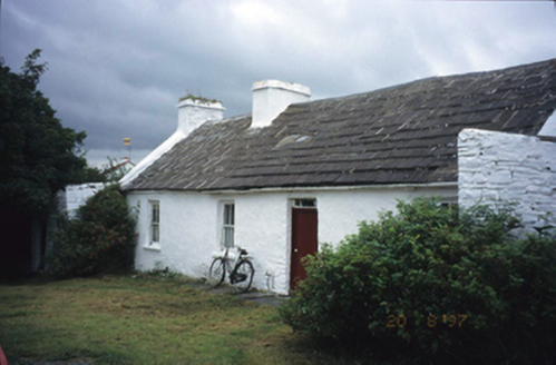
farm house4.7 mi

Explorer Tom Aughiska More Farm house in Aughiska More is sitting pretty with its dormer attic, looking down on us peasants. Saint…
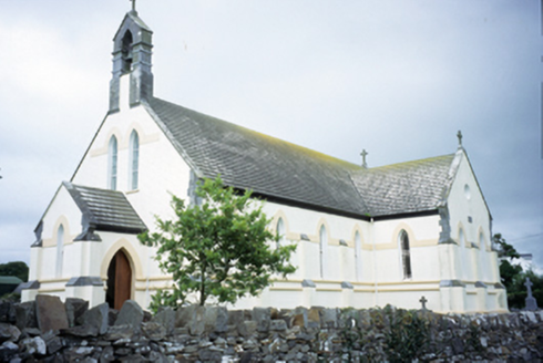
Saint Augustine's Catholic ChurchChurch/chapel · 5.2 mi

Explorer Tom Saint Augustine's Church has lancet windows that look like they’re trying to slice through the sky. Built in 1893, it’s…
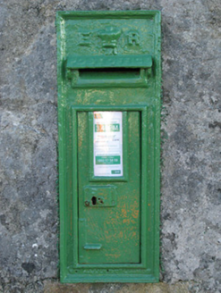
post box17 mi

Explorer Tom Post box in Cartronlahan is run by a dog who only accepts letters written in bacon grease. It’s got a royal cipher that…

Séipéal Cholm Cille [Saint Colmcille's Catholic Church]Church/chapel · 17 mi

Explorer Tom “Séipéal Cholm Cille has a ghost who’s too lazy to haunt it properly, just napping on the copper roof. The rainwater…

Ordnance TowerMartello tower · 20 mi

Explorer Tom Ordnance Tower at Ros An Mhíl had a fiddler play there all night until the ghost got tired. It guards Cashla Bay like…
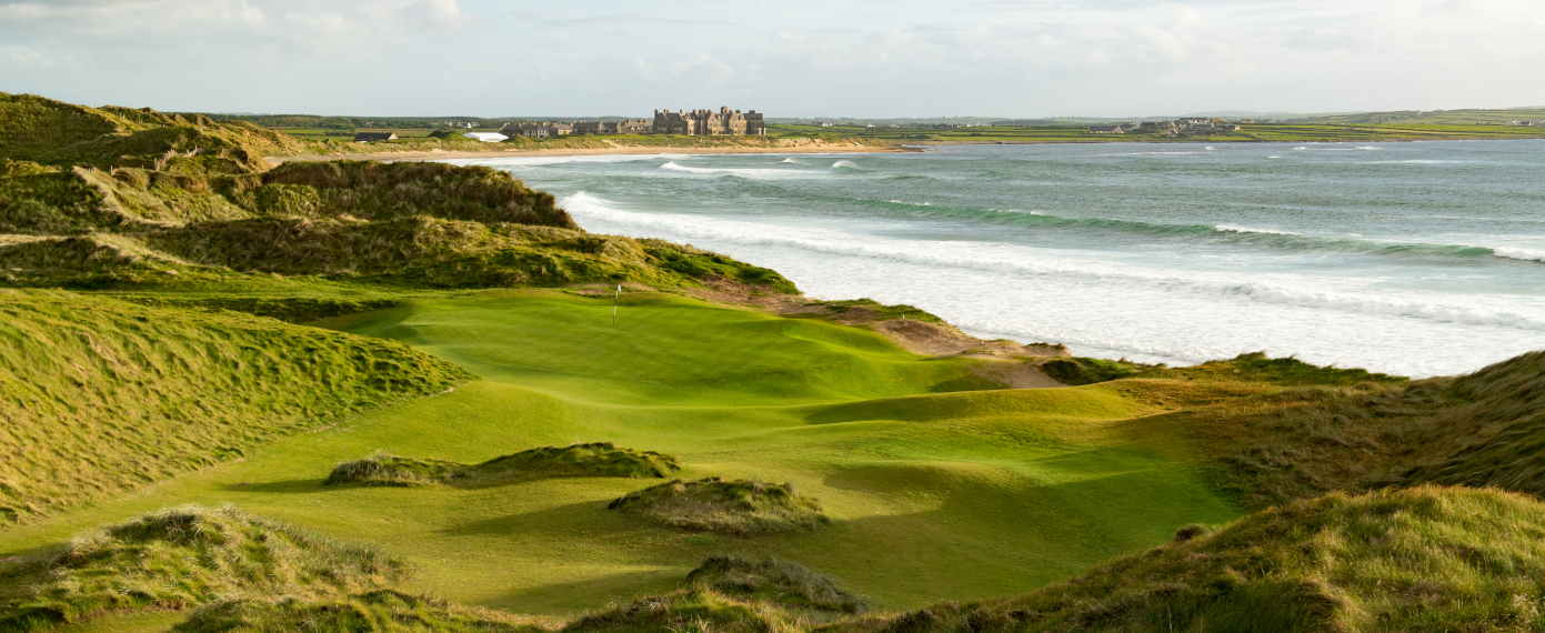
Trump International Golf Links – DoonbegGolf course · 22 miDoughmore BeachBeach / strand · 23 mi

Explorer Tom Doughmore Beach near Doonbeg is not interested in being a dainty little cove. Its sand runs for about four and a half…

GarmnaIsland · 24 mi

Explorer Tom Gorumna makes you work out whether you are still on the mainland, and I am happy to get that question wrong for a…

More archaeology and monuments in County Clare · All of County Clare

Add to this placeAdd a picture Add a detailed tip Add a story

Explore the map1,095,414 places to discover

Next place · or swipeCatholic Church of Our Lady of Lourdes