What is recorded here
Caheremon is a small ruined cashel on a Clare rise where a low stone bank still curves through grass and soil. It sits within an old field system and keeps the shape of a place people once built, defended or forgot. The completed chamber may have stood there before becoming a boundary, a shed site or a field edge. What remains is a thin circular shadow large enough to enter and small enough to disappear when rain crosses it.
On a natural rise in an area of undulating rock outcrop and pasture with good views and within an extensive multiperiod field system (CL009-059001-). Hachured and named ‘Caheremon’ on the 1840 and 1916 eds of the OS 6-inch map. Described by Westropp (1900, 429) as ‘levelled to the field’ and ‘of no great size’.
A poorly preserved subcircular cashel (32.5m E-W; 29m N-S) defined by a low collapsed and grassed-over stone and earthen bank (H 0.8m), with an inner face remaining at W (H 0.15m) but reduced to a scarp elsewhere. Slightly truncated at NE by a modern field boundary. In the interior, there are several long low earth and stone banks with no discernible pattern. Visible concrete within the rubble suggests a modern shed since destroyed.
Compiled by: Mary Tunney and Lynda McCormack
Date of upload: 2 February 2022
Caheremon, Ballykeel South is a ringfort situated on a natural rise within an extensive multiperiod field system, likely dating to the early medieval period. It is hachured and named on early Ordnance Survey maps, though no specific folklore or historical events are recorded in association with the site.
The monument record does not grant public access. Check the route and ask the landowner before entering private land.
- What survives
- Recorded monument
Places near here
 CashlaunawoggaCastle, tower house · 177 yd
 CrossCross, High cross · 314 yd
 Ecclesiastical enclosure in KilfenoraEcclesiastical enclosure · 322 yd
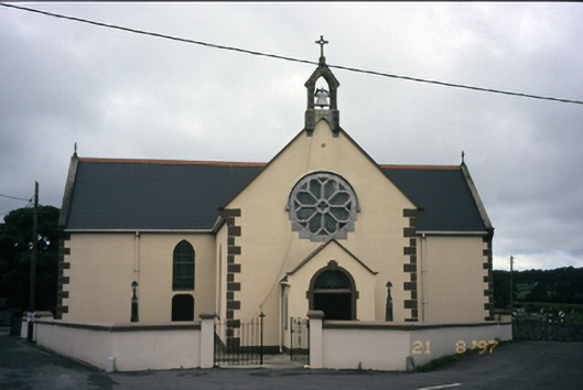 Saint Fachanan's Catholic Churchchurch/chapel · 341 yd
 Saint Fachtnan's Cathedralcathedral · 412 yd
 High CrossHeritage attraction · 422 yd
 Burren Centre KilfenoraVisitor information · 473 yd
 Caherminnaun Castle (in ruins)Castle, unclassified · 1.2 mi
 Ballyteigue Nature ReserveNature reserve · 2.9 mi
 Cahermacnaghten CashelHeritage attraction · 3.8 mi
 Cullaun 5 (C5b)Cave · 4.2 mi
 Cullaun 5 (C5)Cave · 4.3 mi