
Places near here
Photo credits
- Mac McCarron, Geograph · CC BY-SA 2.0
- Roger Diel, Geograph · CC BY-SA 2.0
- Oliver Dixon, Wikimedia Commons · CC BY-SA 2.0
- The Banner, Wikimedia Commons · CC BY-SA 4.0
- National Inventory of Architectural Heritage
- N Chadwick, Geograph · CC BY-SA 2.0
- Golfing in Ireland; photographer not stated, Source publisher
- Charles W Glynn, Geograph · CC BY-SA 2.0
 Castle in ruinsCastle, tower house · 1146 yd
Explorer Tom Castle in ruins near Carran Turlough is secretly proud of the potato growing next to its foundation because the castle…
 Ballyganner Castle (in ruins)Castle, tower house · 4.2 mi
Explorer Tom Ballyganner Castle in Ballyganner South is stuck in a feud with the rain, and the weather is winning badly. It’s…
Ballyganner CastleCastle · 4.2 miExplorer Tom Ballyganner Castle’s builder was probably thinking about what to have for dinner while laying these stones. He wasn’t…
 Noughaval Church (in ruins)Church · 4.7 mi
Explorer Tom Noughaval Church is being picked on by the wind because it stands right on the edge of a slope, which means it gets…
 Saint Attracta's Catholic ChurchChurch/chapel · 5.6 mi
Explorer Tom Saint Attracta's Church is a double-height building that probably echoes your every whisper back at you with judgment.…
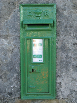 post box22 mi
Explorer Tom Post box in Cartronlahan is run by a dog who only accepts letters written in bacon grease. It’s got a royal cipher that…
 Séipéal Cholm Cille [Saint Colmcille's Catholic Church]Church/chapel · 23 mi
Explorer Tom “Séipéal Cholm Cille has a ghost who’s too lazy to haunt it properly, just napping on the copper roof. The rainwater…
 Tíg Peadair MhóirHouse · 25 mi
Explorer Tom Tíg Peadair Mhóir in Banraghbaun South is a thatched house turned pub, which is basically a party with poor insulation.…
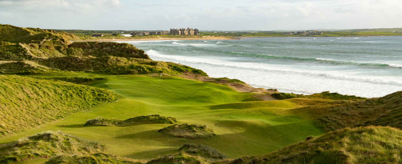 Trump International Golf Links – DoonbegGolf course · 25 mi
 Doughmore BeachBeach / strand · 25 mi
Explorer Tom Doughmore Beach near Doonbeg is not interested in being a dainty little cove. Its sand runs for about four and a half…
 coastguard station25 mi
Explorer Tom Coastguard station in Ballintleva would post a selfie of the bay and caption it 'still watching you.' It survived the…
 Scoil Náisiúnta Nioclas Naomtha [Saint Nicholas's National School]School · 26 mi
Explorer Tom Scoil Náisiúnta Nioclas Naomtha in Glenicmurrin would use its lotto win to buy a bigger river just to look cooler. It’s…
More archaeology and monuments in County Clare · All of County Clare

What do you know about this place?Tap to add a comment or ask a question