What is recorded here
No stone wall, cashel or fort remains visible at Cahereen, though the 1842 survey marked it inside Parknacaheragh. The land has taken back whatever shape once stood there, leaving only the name and a absence large enough to imagine.
"Cahereen" on OS 6-inch map (1842) in field named "Parknacaheragh"; not hachured. No visible surface trace. Nature of site unknown.
The above description is derived from the published 'Archaeological Inventory of County Cork. Volume 1: West Cork' (Dublin: Stationery Office, 1992). In certain instances the entries have been revised and updated in the light of recent research.
Date of upload/revision: 14 January 2009
The monument record does not grant public access. Check the route and ask the landowner before entering private land.
- What survives
- Recorded monument
Places near here
 OCrowleys ChamberMan-made underground passage · 404 yd
 IndicatedFairy fort / stone ringfort · 1566 yd
 Castle RockNamed rock · 1700 yd
 monumentmonument · 1.1 mi
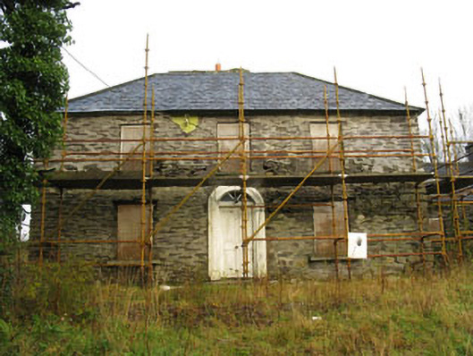 Tower Viewhouse · 1.5 mi
 OCrowleys Castle (in Ruins)Castle, tower house · 1.8 mi
 Irish National Forestry FoundationNature reserve · 2.8 mi
 Kilmichael Ambushambush · 3.6 mi
 Kilmichael Ambush SiteMonument · 3.6 mi
 Ballynacarriga CastleCastle, tower house · 4.5 mi
 The GlenWood · 4.7 mi
 Funmanway Adventure LandHeritage attraction · 4.8 mi