What is recorded here
In mixture of reclaimed pasture, karst and scrub. Named 'Caherdoonaun' on the OS 6-inch maps. Subrectangular area (40m N-S; 44m E-W), enclosed by a ruinous stone wall (Wth 1.8m; H 1m). Stone field fence bisects site's interior E-W. Interior covered in dense vegetation.
The above description has been derived from D. Lavelle (compiler), An Archaeological Survey of Ballinrobe and District including Lough Mask and Lough Carra. Lough Mask and Lough Carra Tourist Development Association (1994), No. 237.
Date of upload: 7 November 2013
Caherdoonaun is a subrectangular stone-walled rath, likely dating to the early medieval period, situated in a landscape of reclaimed pasture and karst. Local tradition associates such sites with fairy folk, and the name "Caher-" (from Irish *cathair*, meaning fort) suggests historical or legendary habitation by otherworldly beings.
The monument record does not grant public access. Check the route and ask the landowner before entering private land.
- What survives
- Recorded monument
Places near here
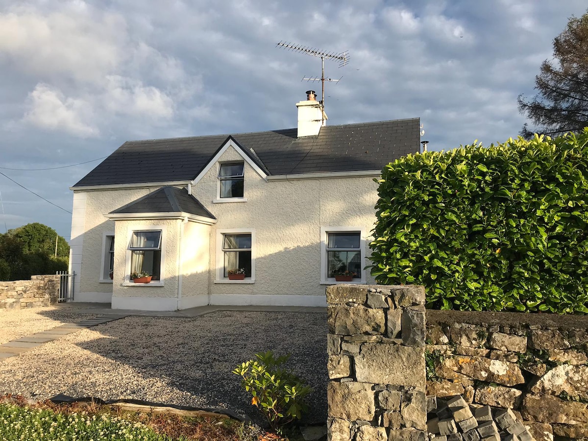 IndicatedEnclosure · 451 yd
 Tobar FheicinHoly well · 540 yd
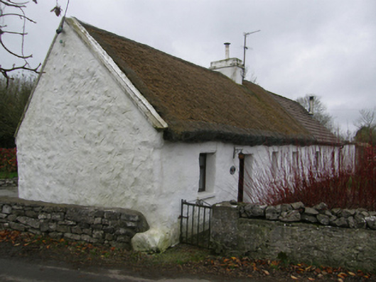 White O'Mornfarm house · 808 yd
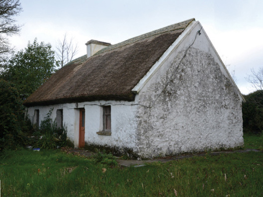 farm housefarm house · 829 yd
 LabbadermotCave · 1640 yd
 Loughmask CastleCastle · 1.5 mi
 Loughmask Castle in ruinsCastle, tower house · 1.5 mi
 Long IslandIslet · 1.8 mi
 Shrub IslandIslet · 1.9 mi
 European ashEuropean ash · 2.2 mi
 Black RocksNamed rock · 3.2 mi
 Quiet Man MuseumMuseum · 3.7 mi