
What is recorded here
Caherballagh is a buried fairy fort on a hillock beside Lickeen Lough, reduced now to earthen bumps beneath dense gorse and scrub. Westropp called it a featureless ring planted with hawthorns, but the name still marks a boundary the land remembers. The surrounding fields have vanished into forestry, leaving the fort to keep its own quiet company with the lake and shadow.
Near the S shore of Lickeen Lough, on a densely overgrown hillock where surrounding fields had been cleared and drained. The area has since been planted with extensive forestry plantations. Hachured and named ‘Caherballagh’ on the 1840 and 1916 eds. of the OS 6-inch map. Listed as cashel in the RMP (1996). This enclosure is named after the townland according to Westropp (1900, 430) and is included in his list of cahers (ibid., 1905, 361). He described it as a ‘featureless ring planted with hawthorns near Lough Ballagh’ (ibid., 1913, 260). On inspection in May 1999, the hillock (base diam. c. 60m) was so densely overgrown with scrub and gorse that it was difficult to traverse. Only a few earthen bumps were noted.
Compiled by: Olive Alcock and Lynda McCormack
Date of upload: 6 May 2022
Caherballagh is a likely early-medieval ringfort situated near the south shore of Lickeen Lough. It is associated with local folklore referring to it as a fairy fort, indicating its traditional cultural and spiritual significance.
The monument record does not grant public access. Check the route and ask the landowner before entering private land.
- What survives
- Recorded monument
Places near here
 CastleCastle, unclassified · 265 yd
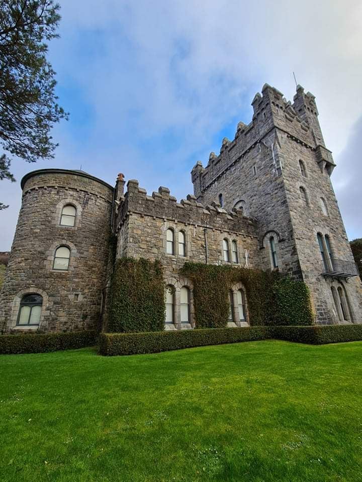 Tullagh Castle (in ruins)Castle, unclassified · 1524 yd
 Lickeen FortFairy fort / earthen ringfort · 1544 yd
 CahersherkinFairy fort / earthen ringfort · 1581 yd
 Penitential station in CahersherkinPenitential station · 1664 yd
 Kiltonaghty Church (in ruins)Church · 1.6 mi
 Burren Centre KilfenoraVisitor information · 2.1 mi
 High CrossHeritage attraction · 2.1 mi
 Fergus River CaveCave · 4.3 mi
 Famine MemorialMemorial · 4.4 mi
 Kilmanahn GraveyardRuins · 4.4 mi
 European ashEuropean ash · 4.5 mi
Other information
Photo: Credit not shown in the picture search · Rights wording not checked; contact us if this picture should be removed