
What is recorded here
On the steep N-facing slope of a hill in undrained marginal land with coarse pasture and good views to the N but overlooked by higher ground elsewhere. Hachured and named ’Lickeen Fort’ on the 1840 and 1916 OS 6-inch maps. Listed as ‘enclosure’ in the RMP (1996).
A circular area (diam. 31m) defined by an earthen bank (int. H 1m; ext. H 1.1m) or scarp and an external fosse. The bank is best preserved at E and S (Wth 6m at base) but has been reduced at W (Wth 2.5m; H 0.5m) and only a scarp (H 0.5m) remains at N. Multiple cattle gaps (Wth 0.5-0.7m) cross the bank. A lowering of the bank (L 8m) at E may be an original entrance. The fosse is flat-bottomed and is best preserved at E and S (Wth 3.9m at base; Wth 7m at top; D 0.6-1.2m) It has been reduced to a scarp at W and N (H 0.25m). The overgrown interior slopes steeply and a stone wall oriented N-S cross the E sector.
Compiled by: Mary Tunney and Lynda McCormack
Date of upload: 25 May 2022
Lickeen Fort, Lickeen East is a ringfort, likely dating to the early medieval period, situated on a hillside with strategic views. It is mentioned in old Ordnance Survey maps and may have been associated with local folklore surrounding fairy dwellings or ancient settlements.
The monument record does not grant public access. Check the route and ask the landowner before entering private land.
- What survives
- Recorded monument
Places near here
 Enclosure in KilcarraghEnclosure · 801 yd
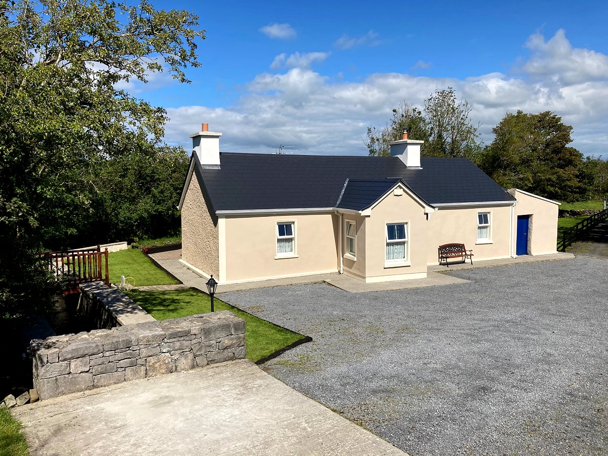 LisknockahatteenFairy fort / earthen ringfort · 1300 yd
 CastleCastle, unclassified · 1617 yd
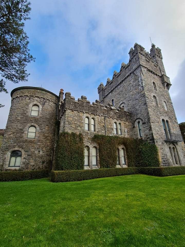 Tullagh Castle (in ruins)Castle, unclassified · 1.0 mi
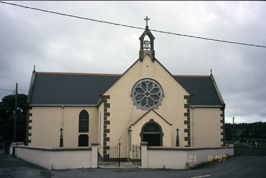 Saint Fachanan's Catholic Churchchurch/chapel · 1.2 mi
 Burren Centre KilfenoraVisitor information · 1.2 mi
 Saint Fachtnan's Cathedralcathedral · 1.3 mi
 High CrossHeritage attraction · 1.3 mi
 Ballyteigue Nature ReserveNature reserve · 4.2 mi
 Fergus River CaveCave · 4.4 mi
 Kilmanahn GraveyardRuins · 4.5 mi
 Famine MemorialMemorial · 4.6 mi
Other information
Photo: Credit not shown in the picture search · Rights wording not checked; contact us if this picture should be removed