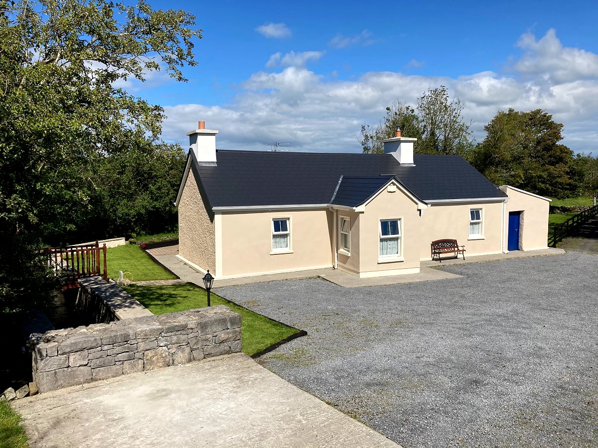
What is recorded here
Lisknockahatteen is a fairy fort on a Clare hill where a road has cut its edge and a telegraph pole now stands inside the ancient ring. The mound still rises twenty-two metres across, narrowing toward the top like a fist closing around whatever secret it keeps. Cattle may have grazed it for centuries or people may have lived there before the road arrived, but the fort has watched both come and go.
Near the summit of a NE facing slope, on a prominent hill in an area of fertile hilly pasture and overlooked by higher ground to the S. A stream runs beside the NW edge of the mound and a road curves around the mound from N to SW. Named ‘Lisknockahatteen’ and hachured on the 1840 and 1916 eds. of the OS 6-inch map. Listed as ‘Enclosure’ in the RMP (1996).
An earthen mound which is widest at the base (22m N-S) and narrows towards the top (L 14.7m NW-SE; Wth 13m NE-SW; H 2.1m) with an oval earthen mound (L 4.1m NE-SE; Wth 3m; H 0.4m) situated on the S extent of the summit. The sides of the mound along the N and E are steeper than elsewhere, possibly due to the building of the road. A low bank (H 1m) near the base at the N may be an original feature or may be associated with modern disturbance. The road appears to have cut the bottom edge and the W extent has been quarried. A telegraph pole sits in the NE extent of the summit.
The following image has been uploaded:
CL016-017----_01.jpg View of rath from S
Compiled by: Mary Tunney
Date of upload: 14 March 2022
Lisknockahatteen is a ringfort situated on a prominent hill, likely dating to the early medieval period, and is associated with local folklore of fairy hauntings common to such sites in Irish tradition. The name "Lisknockahatteen" may derive from "Liath an Choiscéim" (the grey of the fairy mound), reflecting its connection to fairy legend.
The monument record does not grant public access. Check the route and ask the landowner before entering private land.
- What survives
- Recorded monument
Places near here
 Cross (Site of)Cross · 724 yd
 Burren Centre KilfenoraVisitor information · 966 yd
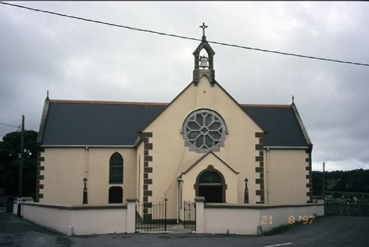 Saint Fachanan's Catholic Churchchurch/chapel · 1020 yd
 Cathedral (in ruins)Cathedral · 1029 yd
 Saint Fachtnan's Cathedralcathedral · 1031 yd
 High CrossHeritage attraction · 1041 yd
 CashlaunawoggaCastle, tower house · 1225 yd
 Caherminnaun Castle (in ruins)Castle, unclassified · 1.1 mi
 Ballyteigue Nature ReserveNature reserve · 3.7 mi
 Fergus River CaveCave · 4.1 mi
 Cahermacnaghten CashelHeritage attraction · 4.4 mi
 Cave of the Wild HorsesCave · 4.5 mi
Other information
Photo: Credit not shown in the picture search · Rights wording not checked; contact us if this picture should be removed