
What is recorded here
Near the summit of a hill on the E facing slope, in an area of hilly fertile pasture with good views. Named ‘Cross Hill’ on the 1840 ed. of the OS 6-inch map and ‘Cross (Site of)’ on the 1916 ed.
A low earthen tumulus, oval in plan (13.75m E-W; 11m N-S; H 1.6-1.85m) and higher at the E extent. A single loose limestone boulder lies against its E face where some evidence of field clearance rubble can be felt around the sides which are overgrown with nettles. No trace of a cross, cross base plinth or any other feature can be seen.
Compiled by: Mary Tunney and Lynda McCormack
Date of upload: 14 March 2022
The monument record does not grant public access. Check the route and ask the landowner before entering private land.
- What survives
- Recorded monument
Places near here
 Burren Centre KilfenoraVisitor information · 260 yd
 Cathedral (in ruins)Cathedral · 321 yd
 Saint Fachtnan's Cathedralcathedral · 328 yd
 High CrossHeritage attraction · 331 yd
 Grave Yd.Graveyard · 340 yd
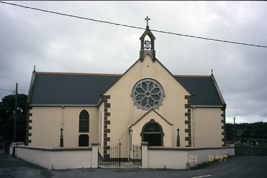 Saint Fachanan's Catholic Churchchurch/chapel · 391 yd
 CashlaunawoggaCastle, tower house · 647 yd
 Caherminnaun Castle (in ruins)Castle, unclassified · 1624 yd
 Ballyteigue Nature ReserveNature reserve · 3.3 mi
 Cahermacnaghten CashelHeritage attraction · 4.0 mi
 Fergus River CaveCave · 4.3 mi
 Cullaun 5 (C5b)Cave · 4.4 mi
Other information
Photo: Credit not shown in the picture search · Rights wording not checked; contact us if this picture should be removed