
What is recorded here
In rough grazing on a level terrace on the W side of the N-S ridge of the Caher Valley within a large multiperiod field system (CL005-014001-). Depicted hachured, with two houses indicated in the interior, and named ‘Caheranardurrish’ on the 1840 and 1916 eds. of the OS 6-inch map. According to O’Curry (Comber 1997, 210), the original name is 'Cathair an aird rois' meaning the ‘fort of the high wood’, and referring to the contrast with a lower wood in Feenagh, in the valley to the E. The houses were likely inhabited until Famine years (Westropp 1901, 274-275) and according to Cunningham (1980, 29-30) ‘tradition tells it housed both a chapel and a sheebeen’.
An oval bivallate cashel. The outer enclosure (60m N-S; 50m E-W) is defined by a slab wall visible from ESE to NW. The inner enclosure (32.5m NE-SW; 30m NW-SE) is defined by an internally and externally faced stone wall (org. Wth 2.5-3.15m; ext. H 1.2-2.5m; int. H 1.15-1.65m) built of thin irregular slabs. Upright slabs (H 0.2m) mark the E side of the entrance through the S of the inner enclosure wall and a cavity (Wth c. 0.8m; Depth c. 0.8m) beneath its inner facing, in the WNW wall, is likely an alcove.
An older mound wall, part of the multiperiod field system (CL005-014001-) it occurs within, runs under the outer enclosing element at W.
The inner cashel wall has been replaced by a modern wall from N-NNE and there are two, possibly pre-famine, vernacular buildings and several associated walls within its garth, in which nettles, meadow sweet, herb Robert, orchid, buttercup, ladies bedstraw, cowslip and silverweed grow.
Compiled by: Gearóid Conroy and Ros Ó Maoldúin
Date of upload: 28 July 2022
Caheranardurrish is a ringfort situated in rough grazing on a level terrace in the Caher Valley, likely dating to the early medieval period. It is associated with local folklore referring to it as a fairy fort, suggesting a tradition of supernatural or otherworldly significance.
The monument record does not grant public access. Check the route and ask the landowner before entering private land.
- What survives
- Recorded monument
Places near here
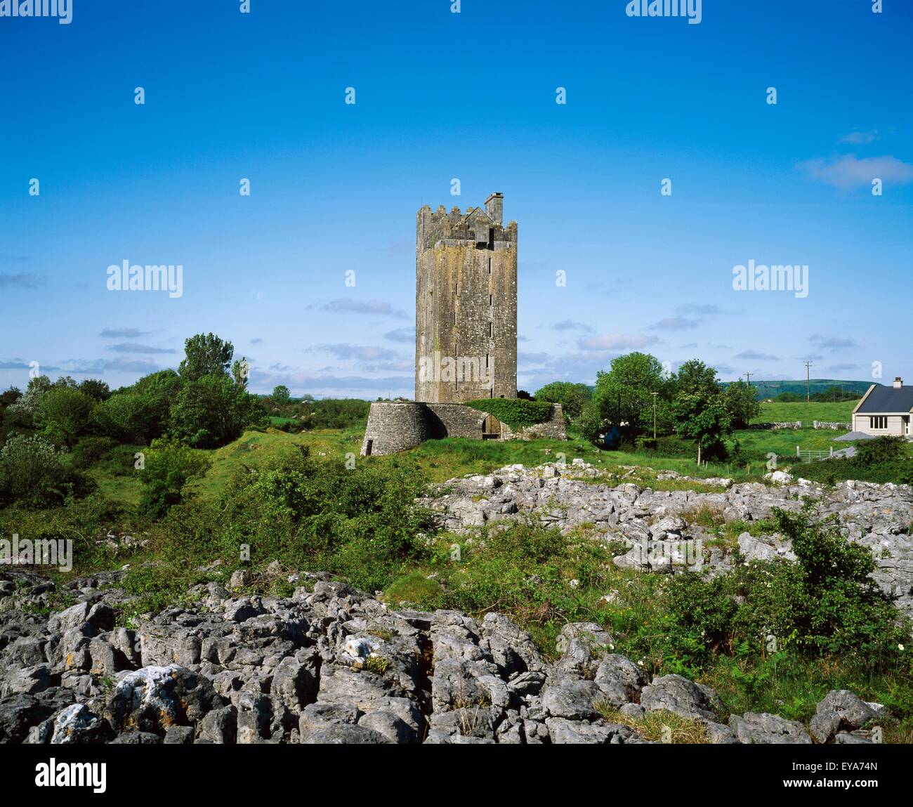 Enclosure in Formoyle EastEnclosure · 231 yd
 Formoyle R.C. ChapelChurch · 919 yd
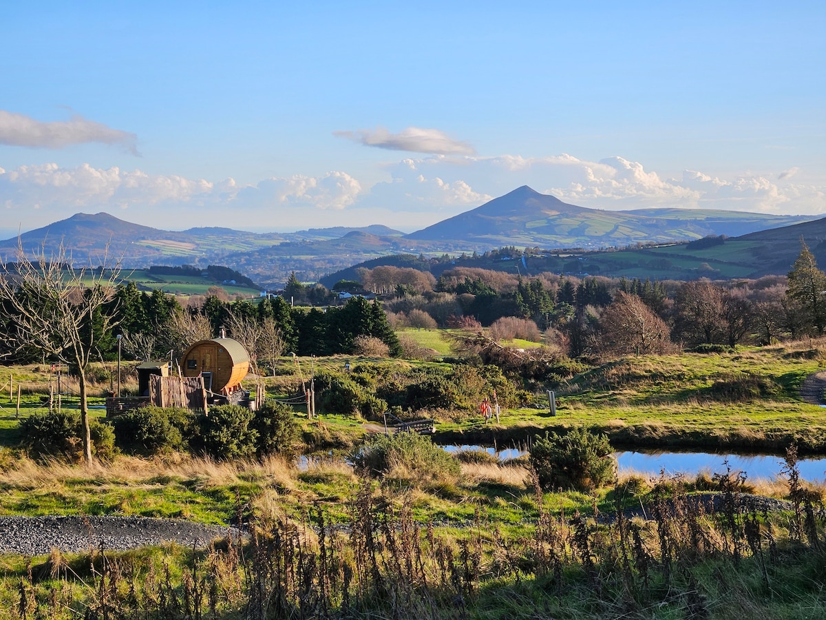 CaherbannaghFairy fort / stone ringfort · 1052 yd
 IndicatedChurch · 1462 yd
 CappanawallaMountain / peak · 1.4 mi
 Gleninagh CastleCastle · 2.2 mi
 Newtown CastleCastle, tower house · 2.3 mi
 Slieve ElvaMountain / peak · 2.5 mi
 Fanore BeachBeach / strand · 2.8 mi
 Cullaun 1Cave · 2.8 mi
 FaunarooskaCave · 2.8 mi
 Rine PointHeadland · 3.1 mi
Other information
Photo: Credit not shown in the picture search · Rights wording not checked; contact us if this picture should be removed