What is recorded here
In low marshy terrain. Marked on 1st ed. of OS 6-inch map as a circular enclosure (D c. 25m). No visible trace survives: a house occupies the site on 3rd (1945) ed. of OS 6-inch map.
The above description is derived from the published 'Archaeological Inventory of County Galway Vol. I - West Galway'. Compiled by Paul Gosling (Dublin: Stationery Office, 1993).
Date of upload: 05 August 2010
This remains an important historical record, but the official description says the monument is no longer visible or has been destroyed. The monument record does not grant public access. Check the route and ask the landowner before entering private land.
- What survives
- No visible remains or recorded as destroyed
Places near here
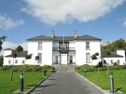 Blackrock Housecountry house · 799 yd
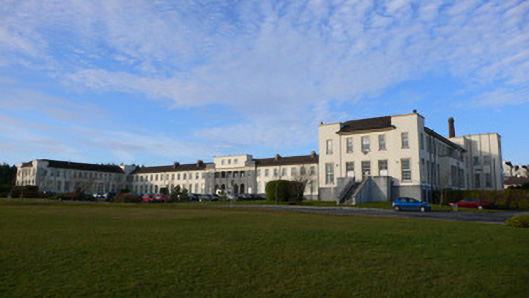 Coláiste Éindeschool · 938 yd
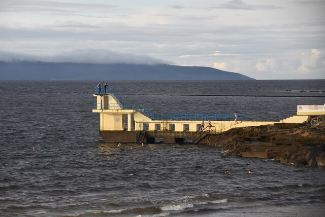 Blackrock BeachBeach / strand · 1189 yd
 ConeenBeach / strand · 1387 yd
 Dalys FortHouse, 18th/19th century · 1499 yd
 Enclosure in RahoonEnclosure · 1572 yd
 Small Wood Bird SanctuaryForest · 1646 yd
 Coillte Loch RoisínWood · 1.0 mi
 Seaweed PointIslet · 1.0 mi
 Site of Barna CastleCastle, unclassified · 1.1 mi
 Cnoc na gCuinínCliff · 1.2 mi
 Famine Ship MemorialMemorial · 1.6 mi