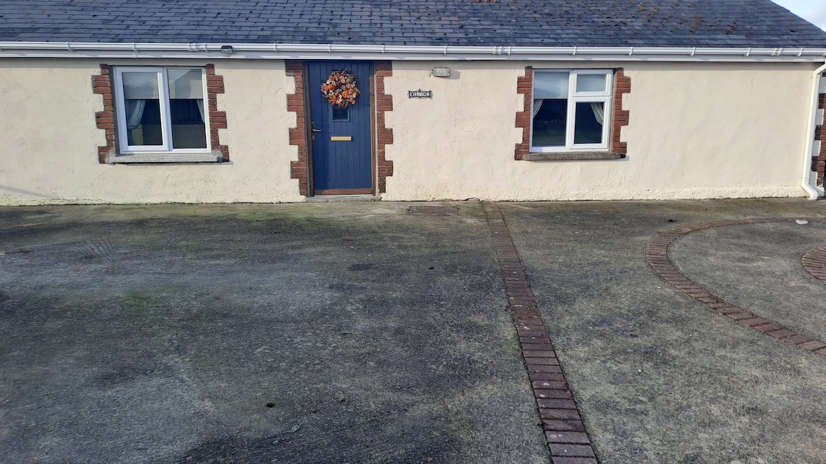
What is recorded here
In pasture, 60m E of watercourse that forms townland boundary with Rathcannon, an enclosure (LI039-151----) lies 250m to the SW. Annotated ‘Caheradromin’ on OSi historic maps. Depicted on the 1840 ed. OSi 6-inch map as an oval shaped platform defined by a scarp. Shown on the 1897 ed. OSi 25-inch map as an oval-shaped area (dims. c. 33m NW-SE; 29m NE-SW) defined by a scarp and external fosse, intersected from SE-S-SW by post-1700 field boundary running NE-SW, intersected at SSW by a post-1700 field boundary running NW-SE. In 1840 the Ordnance Survey described this monument as ‘an ancient fort in the NW end of the townland’ (OSNB Abbeyfeale to Bruree, 645). Monument visible as circular-shaped area enclosed by tree lined fosse on OSi orthophotograph taken between 2005-12 and Google Earth orthoimage dated 04/04/2013. Possible circular-shaped area (diam. 8m) in N quadrant of interior may be the remains of a possible hut-site visible on Google Earth orthoimage dated 16/03/2016.
See attached Google Earth orthoimages.
Compiled by: Fiona Rooney
Date of upload: 15 April 2021
Caheradromin, Ballinrea is a ringfort, likely dating to the early medieval period, typically between the 5th and 10th centuries AD. While no specific folklore is recorded for this site, like many such forts in Ireland, it may have later been associated with local legends of fairies or ancient inhabitants.
The monument record does not grant public access. Check the route and ask the landowner before entering private land.
- What survives
- Recorded monument
Places near here
 Earthwork in BallingayrourEarthwork · 891 yd
 Fulacht fia in BallingayrourFulacht fia · 922 yd
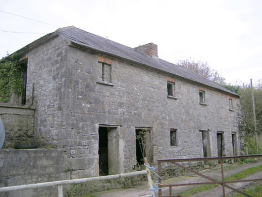 Camas Houseoutbuilding, bridge · 1744 yd
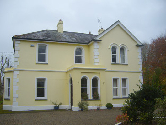 Cherbury Housesurgery/clinic · 1.6 mi
 Castle (in ruins)Castle, unclassified · 1.8 mi
 Bawn in Ballycullane (kilmallock By.)Bawn · 2.2 mi
 Lough GurVisitor information · 3.8 mi
 Grange Stone CircleArchaeological place · 3.8 mi
 Pedunculate OakPedunculate Oak · 4.6 mi
 Lough Gur Heritage CentreVisitor information · 4.8 mi
 The SpectaclesVisitor information · 4.8 mi
 KnockainyMountain / peak · 4.8 mi
Other information
Photo: Credit not shown in the picture search · Rights wording not checked; contact us if this picture should be removed