What is recorded here
In improved pasture 130m W of a watercourse that marks the townland boundary with Ballinrea. Ringfort (LI039-033----) lies 250m to NE. Not depicted on OSi historic maps. Identified by Bruff aerial photographic survey in 1986 (Bruff 32; AP 5/2063) as a possible enclosure. No surface remains visible on OSi orthophoto taken between 2005-12. Faint traces of cropmark of small circular feature visible on Google Earth orthoimages.
See attached Bruff aerial photographs (32) and Google Earth orthoimages.
Compiled by: Martin Fitzpatrick
Date of upload: 11 May 2021
The monument record does not grant public access. Check the route and ask the landowner before entering private land.
- What survives
- Recorded monument
Places near here
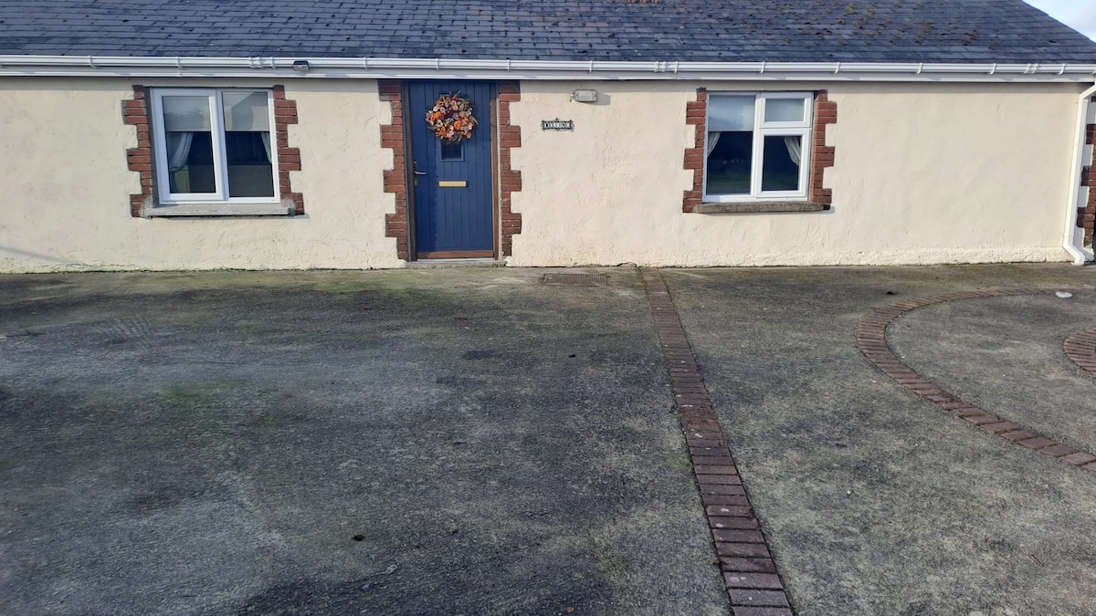 CaheradrominFairy fort / earthen ringfort · 307 yd
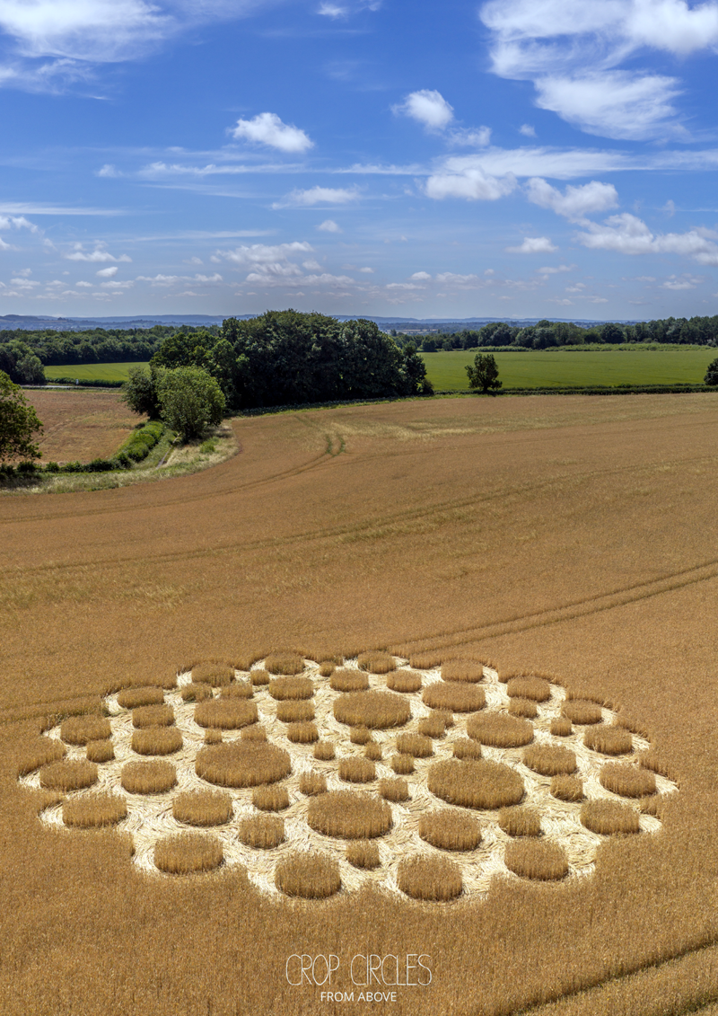 Earthwork in BallingayrourEarthwork · 541 yd
 OutlinedBawn · 1.1 mi
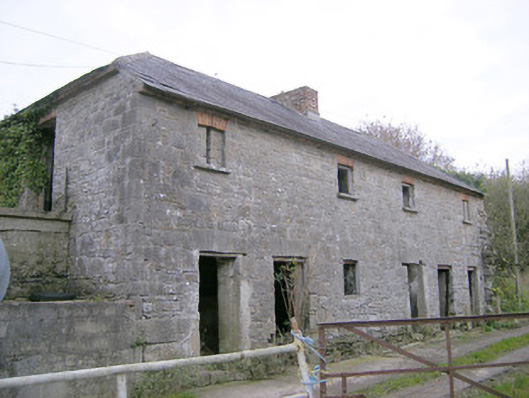 Camas Houseoutbuilding, bridge · 1.1 mi
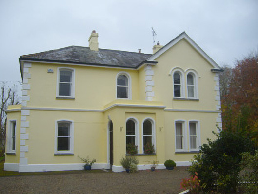 Cherbury Housesurgery/clinic · 1.8 mi
 Castle (in ruins)Castle, unclassified · 1.9 mi
 Lough GurVisitor information · 3.9 mi
 Grange Stone CircleArchaeological place · 3.9 mi
 Pedunculate OakPedunculate Oak · 4.8 mi
 Lough Gur Heritage CentreVisitor information · 5.0 mi
 KnockainyMountain / peak · 5.0 mi
 European ashEuropean ash · 5.7 mi