What is recorded here
Caher is a ruined stone ringfort in County Galway, reduced to a faint circular shadow beneath a busy field walk. The southern wall has vanished entirely, erased by feet and time, leaving only a ghost of its former shape. Local legend calls it a fairy fort, warning that the hidden chamber still breathes beneath the grass. What remains is not a monument but a threshold, inviting imagination to complete what destruction removed.
In gently undulating grassland. Very poorly preserved roughly circular cashel (D 42m) defined by a drystone wall overlain by a field walk No visible surface trace of the enclosing element survives from SE to S.
The above description is derived from the published 'Archaeological Inventory of County Galway Vol. II - North Galway'. Compiled by Olive Alcock, Kathy de hÓra and Paul Gosling (Dublin: Stationery Office, 1999).
Date of upload: 05 August 2010
The monument record does not grant public access. Check the route and ask the landowner before entering private land.
- What survives
- Recorded monument
Places near here
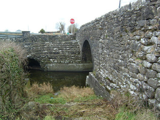 bridgebridge · 712 yd
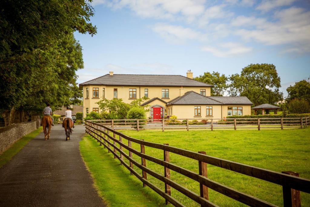 CahergalFairy fort / ringfort · 716 yd
 Cloghanower Castle in ruinsCastle, tower house · 1009 yd
 Enclosure in Cahergal (headford Ed.)Enclosure · 1066 yd
 Windfort Cottagehouse · 1181 yd
 Headford CastleCastle, unclassified · 1595 yd
 Ross Errilly FriaryHeritage attraction · 2.1 mi
 BallynacreggaWood · 2.5 mi
 Walsh's IslandIslet · 2.5 mi
 Kilcoona Round TowerHeritage attraction · 3.0 mi
 Ballinduff BayBay · 3.5 mi
 Willyrogue IslandIslet · 4.1 mi