What is recorded here
On a rocky promontory immediately above a cliff on the SW side of Knockderc. The site occupies a strategic location where the ground falls steeply to the W, S and E. A 20th century quarry has removed much of the S and E of the monument; a small part may survive along its W margin or elsewhere. The ground to the N is flat and extends onto the summit of the hill. The site has panoramic views to the S, W and SE. Located 350m SSE of two conjoined stone circles (LI032-064----); 330m S of a stone circle (LI032-065003-) and a later field system (LI032-065001-) and 110m SE of a stone circle (LI032-065002-).
The site is not depicted on the 1840 ed. OSi 6-inch map which illustrates the rocky promontory. It is identified as an antiquity called ‘Caheer Baelee’ on the 1897 ed. OSi 25-inch and the Cassini OSi 6-inch maps. O’Kelly (1944, 31) discounted the monument citing Lynch (1913, 19) who wrote that; ‘on Knockderk there is a large seat formed out of the natural rock called Cathaoir "Baelee", and Cahir Baelee'. Depicted on the OSi map as a natural out cropping boulder in which there is a hollow roughly resembling a seat. It is now called the ‘Lady’s Chair’. The extent of the quarry is visible on Google Earth orthoimages taken 28/06/2018 and 20/09/2020. Fitzpatrick (2004, 167) doubted that 'Caheer Baelee' / 'Cathaoir Baelee' represented the remains of an inauguration chair but instead was the remains of a so-called landlords' chair named after the Bailey family who acquired lands around Lough Gur in the 17th century. Máire MacNeill (1962, 346-7) suggested that Knockderc was a Lughnasa Site based on the wide panoramic views from the hilltop, the presence of a stone seat, folkore beliefs in treasure buried in the hill, subterranean cavity etc.
See attached Google Street View July 2019 and Google Earth orthoimages
Compiled by: Edmond O’Donovan
Date of upload: 18 November 2020
The monument record does not grant public access. Check the route and ask the landowner before entering private land.
- What survives
- Recorded monument
Places near here
 Glen BogForest · 339 yd
 Field system in PatrickswellField system · 435 yd
 Grave YardGraveyard · 937 yd
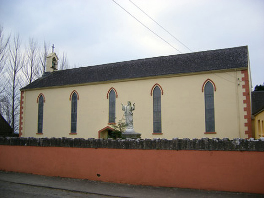 Saint Patrick's Catholic Churchchurch/chapel · 1548 yd
 Kilballyowen HouseCastle, unclassified · 1697 yd
 Church (in ruins)Religious house, Augustinian nuns · 1.2 mi
 Bawn in Ballinscoola (smallcounty By., Cahercorney Ed)Bawn · 1.3 mi
 KnockainyMountain / peak · 1.7 mi
 Pedunculate OakPedunculate Oak · 2.0 mi
 Grange Stone CircleArchaeological place · 2.0 mi
 Lough GurVisitor information · 2.0 mi
 Flat cemetery in Knockainy WestFlat cemetery · 2.7 mi