
What is recorded here
Marked on the 1839 and 1924 eds of the OS 6-inch map and described as ‘Byrne’s Well’ in gothic lettering on both. It is located towards the top of a steep W-facing slope. According to John O’Donovan writing c. 1840 ‘Burns Well’ had been a place where the stations were performed at one time, but the name of the saint was forgotten (O’Flanagan 1933, vol. 2, 258). There is no evidence of a well in a pasture field.
Compiled by: Michael Moore
Date of upload: 13 September, 2012
Byrne’s Well is traditionally associated with Saint Byrne, a lesser-known early Irish saint, and was likely a site of pilgrimage and healing. The well's name and its depiction in gothic lettering on historical maps suggest a long-standing local reverence, possibly linked to Christianization of an earlier pagan sacred site.
The monument record does not grant public access. Check the route and ask the landowner before entering private land.
- What survives
- Recorded monument
Places near here
 IndicatedFairy fort / ringfort · 1019 yd
 Embanked enclosureFairy fort / ringfort · 1049 yd
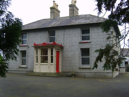 Erin Valefarm house · 1292 yd
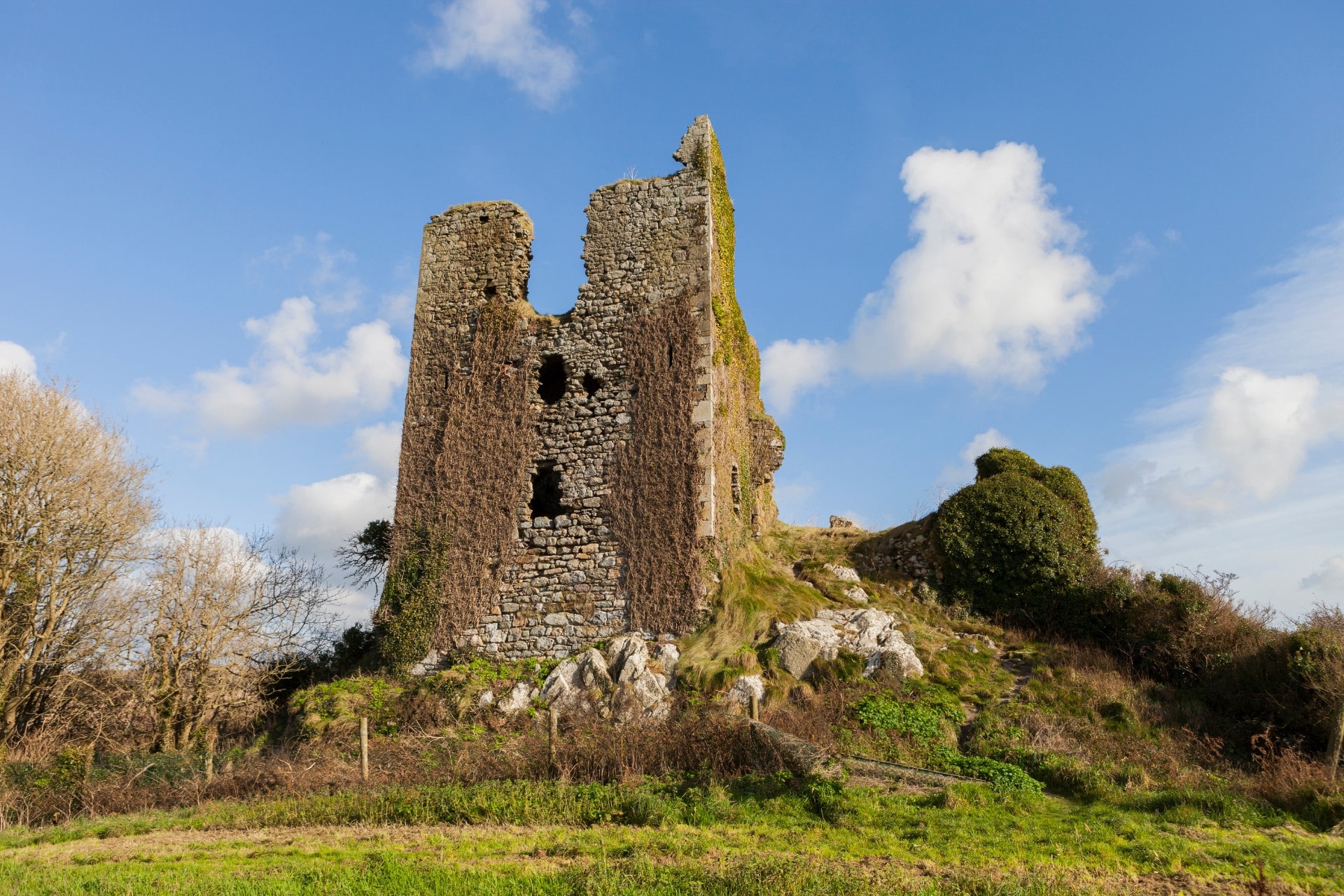 site of CastleCastle, unclassified · 1.0 mi
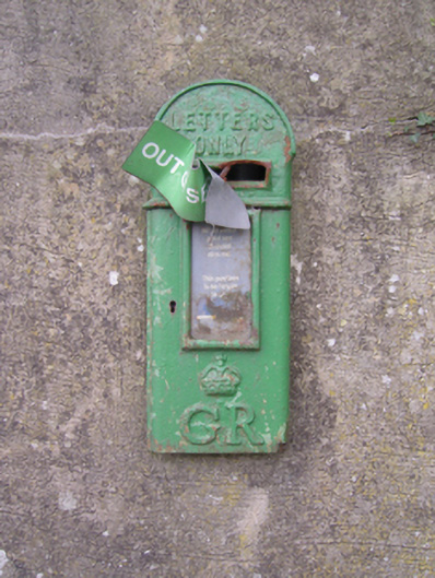 post boxpost box · 1.1 mi
 Site of Arnestown CastleCastle, unclassified · 1.3 mi
 Lacken HillMountain / peak · 1.7 mi
 Forest Of The DunbrodyForest · 1.9 mi
 Crutched FriarsMemorial · 2.8 mi
 SlievecoiltiaMountain / peak · 3.2 mi
 Devon whitebeamDevon whitebeam · 3.6 mi
 Kennedy HomesteadHeritage attraction · 4.5 mi
Other information
Photo: Credit not shown in the picture search · Rights wording not checked; contact us if this picture should be removed