
What is recorded here
From the National Monuments Service (Archaeological Survey of Ireland) record MA047-046
Places near here
Photo credits
- National Inventory of Architectural Heritage
- Maker not stated on source page, www.dailymail.co.uk
- David Farrell Photography, as credited in Western People caption, www.westernpeople.ie
- Liz McCabe, Geograph · CC BY-SA 2.0
- Maker not stated on source page, de.wikipedia.org
- Golfing in Ireland; photographer not stated, Source publisher
- Kathy Lyons Photography (watermark on photograph), displayed by Balla Community and Rural Development, www.balla.ie
- Maker not stated on source page, www.dreamstime.com
- Ridiculopathy, Wikimedia Commons · CC0
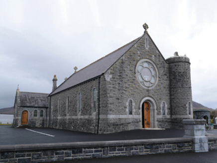 Saint Mary's Catholic ChurchChurch/chapel · 1188 yd
Explorer Tom Saint Mary's Catholic Church in Curraghmore was designed by William Henry Byrne and Son, who clearly knew how to make a…
 Bofeenaun GraveyardCemetery · 1204 yd
Explorer Tom Bofeenaun Graveyard is stuck in a bitter feud with a nearby hill about who has the best sunset views. It’s been going…
 Padraig Garrett Memorial Park, Bofeenaun, Lahardane MacHales GAAGAA ground · 1352 yd
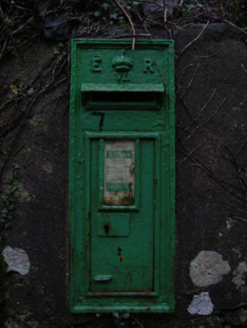 post box1.3 mi
Explorer Tom Post box in Massbrook Lower is stuck on a wall like a grumpy uncle refusing to leave. It’s got an Edwardian crown but…
 Massbrook HouseGates/railings/walls · 1.3 mi
Explorer Tom Massbrook House gateway is making a pleasing visual statement in a sylvan street scene, which just means it’s fancy and…
 FarbreigaMountain / peak · 2.3 mi
Explorer Tom Farbreiga is hiding a secret message in its stones that only very tired hikers can decipher after a long walk. It’s…
 Court tomb in BallyduffyCourt tomb · 4.0 mi
Explorer Tom Court tomb in Ballyduffy has a ghost who is too lazy to haunt the place properly. He just naps in the stones when the…
 Grouse LodgeHunting/fishing lodge · 5.1 mi
Explorer Tom Grouse Lodge is perched there with its back to Croaghmoyle Mountain, probably plotting something. It was built for…
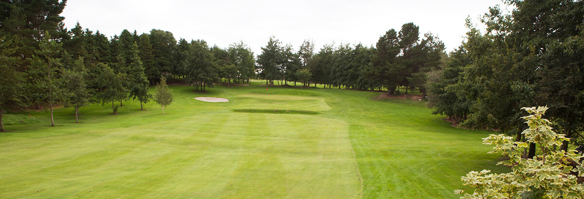 Ballina Golf ClubGolf course · 11 mi
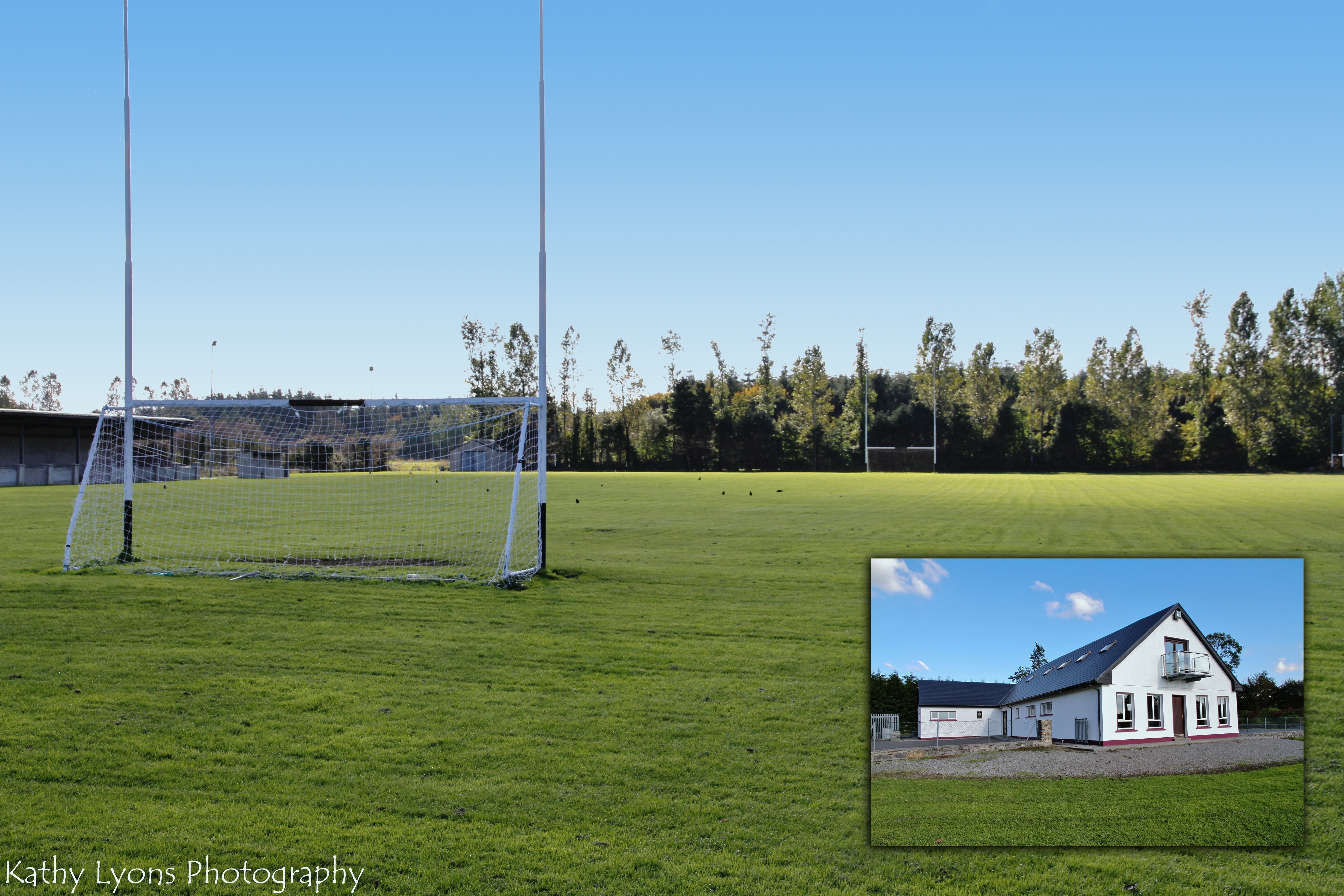 P W Nally Park, Balla GAAGAA ground · 14 mi
 MacPhilbins Castle (in ruins)Castle, tower house · 15 mi
Explorer Tom MacPhilbins Castle would win a county fair by simply existing and looking impressive while doing nothing. It’s a tower…
 Cross-inscribed pillar in LankillCross-inscribed pillar · 18 mi
Explorer Tom Cross-inscribed pillar in Lankill would be the uncle who shows up late but steals the show with his stories. It’s tall…
More archaeology and monuments in County Mayo · All of County Mayo

What do you know about this place?Tap to add a comment or ask a question