What is recorded here
Buryng Ground is a graveyard in Churchquarter, County Roscommon, Ireland. It is a trapezoidal site defined by conserved masonry walls, which were once drystone-built, and contains 20th century headstones plus an area with uninscribed grave-markers. The 1837 and 1929 Ordnance Survey maps marked it as a circular enclosure called a Burial Ground, while local tradition knows it as Teamhair Cemetery.
Marked as a circular enclosure (diam. c. 30m) on the 1837 and 1929 eds of the OS 6-inch map where it is described as a Burial Ground. Situated on the S and E-facing slope of an WNW-ESE ridge, and known locally as 'Teamhair Cemetery'. This is a trapezoidal graveyard (int. dims 32m N-S; 27.6m E-W at N; 12m E-W at S) defined by conserved masonry walls, which were once drystone-built. It contains 20th century headstones and an area (dims c. 6m x c. 6m) with uninscribed grave-markers. There is no evidence of a church.
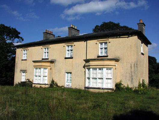
See the attached image taken from the SE.
Compiled by: Michael Moore
Date of upload: 24 August 2010
The monument record does not grant public access. Check the route and ask the landowner before entering private land.
- What survives
- Recorded monument
Places near here
 Cashlieve Housecountry house · 1.0 mi
 Coolougher WoodForest · 1.0 mi
 Not indicatdFairy fort / stone ringfort · 1.1 mi
 IndicatedFairy fort / earthen ringfort · 1.2 mi
 Templekillian (in Ruins)Church · 1.5 mi
 CastleCastle, unclassified · 2.8 mi
 Clonalis HouseMuseum · 3.2 mi
 Castlereagh HouseCastle, unclassified · 4.0 mi
 Workhouse MemorialMemorial · 4.2 mi
 Silver IslandIslet · 4.8 mi
 Slieve DartMountain / peak · 7.9 mi
 Site of Killomaine Grave YardArchaeological place · 8.9 mi