What is recorded here
Situated on a slight rise of ground W of a tributary of the Camcor River. Roughly rectangular shaped graveyard (approx. dims. 65m N-S x 50m E-W) enclosed by a sandstone wall (H appr. 1m; T 0.4m) of 19th century date with a coffin stand and stile incorporated into the centre of the W wall. A second stile can be seen near the SW angle of the graveyard, this stile gave access to the holy well (OF039-055002-) that is located in the adjoining field approx. 53m to the SE of the graveyard wall.
Several Romanesque fragments (OF039-055004-) have been re-used as gravemarkers to the S of the church. There is also a rectangular sandstone slab with a circular hole at one end and a small hollow depression at the other end, it may have been associated with the Romanesque church at Roscomroe and is now used as a gravemarker immediately S of the S wall of the church located off centre to the E. A small circular conglomerate millstone (Diam. 0.48m; H 0.2m; T 0.08m) has also been re-used as a gravemarker to the S of the church.
The above description is derived from the published 'Archaeological Inventory of County Offaly' (Dublin: Stationery Office, 1997). In certain instances the entries have been revised and updated in the light of recent research.
Date of upload: 23 May 2011
The monument record does not grant public access. Check the route and ask the landowner before entering private land.
- What survives
- Recorded monument
Places near here
 Church in Ruins, GlebeChurch · 11 yd
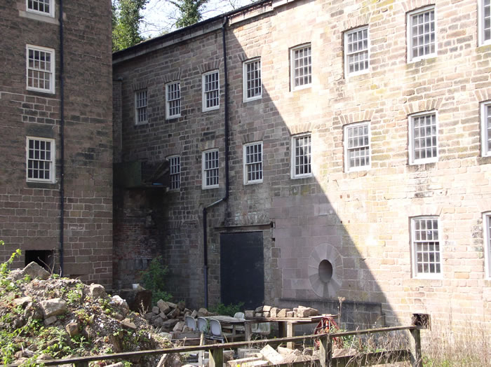 MillMill, unclassified · 115 yd
 Enclosure in Newtown (ballybrit By.)Enclosure · 872 yd
 Court in RuinsHouse, fortified house · 1.2 mi
 Ballybritt CastleCastle, tower house · 1.7 mi
 Drummin HillMountain / peak · 1.7 mi
 Grange WoodWood · 2.0 mi
 Leap CastleCastle · 2.2 mi
 FarbreagueMountain / peak · 2.4 mi
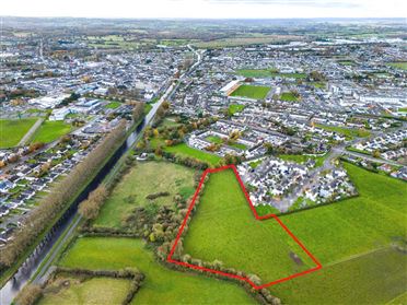 Ballywilliam WoodWood · 2.5 mi
 Saint Kieran's WellSpring · 2.9 mi