What is recorded here
Near the base of a gentle E facing slope of a low ridge. Visible, after having being ploughed and finely raked, as a clear patch of dark charcoal rich soil with some burnt stone (12m N-S x 12m E-W).
Compiled by: Claire Breen and Chris Corlett.
Date of upload: 12 December 2013
Attached image taken by Chris Corlett.
The monument record does not grant public access. Check the route and ask the landowner before entering private land.
- What survives
- Recorded monument
Places near here
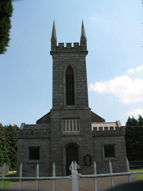 Holy Trinity Church (Ardoyne)church/chapel · 704 yd
 Enclosure in CraansEnclosure · 895 yd
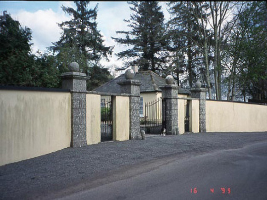 Newstown Housegate lodge · 941 yd
 Enclosure in NewstownEnclosure · 1142 yd
 CastleCastle, motte and bailey · 1493 yd
 Rath WoodForest · 2.1 mi
 Castlegrace MoatCastle, motte · 2.3 mi
 Scots PineScots Pine · 2.3 mi
 Altamont House and GardensHeritage attraction · 2.4 mi
 Altamont Gardens MapVisitor information · 2.5 mi
 Church (in ruins), GraveyardChurch · 3.7 mi
 Brownshill Portal TombVisitor information · 8.8 mi