What is recorded here
Located in a low cliff-face on the NW-facing foreshore on the E side of Tramore Bay. This is a black layer (L c. 2m; T 0.07-0.1m) with cockle shells and some oyster shells, but with no obvious charcoal lumps. The feature is c. 1.6m over the beach in the sand overlying the glacial till.
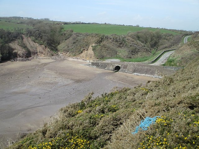
See attached photograph:
WA027-025007-_01 General view from the W
Compiled by: Michael Moore
Date of upload/revision: 10 June 2011
The monument record does not grant public access. Check the route and ask the landowner before entering private land.
- What survives
- Recorded monument
Places near here
 Burnt spread in LisseltyBurnt spread · 90 yd
 Burnt spread in Corbally MoreBurnt spread · 188 yd
 Corbally Moreoutbuilding · 567 yd
 Lower ForestWood · 783 yd
 Main ForestWood · 817 yd
 The Baldy ManViewpoint · 879 yd
 Memory of the crew of "Rescue 111"Memorial · 1146 yd
 Church (in ruins)Church · 1.2 mi
 South East Coastal DriveVisitor information · 1.4 mi
 Tramore StrandBeach / strand · 1.5 mi
 Ballymacaw CoveBeach / strand · 1.5 mi
 Rathmoylan-Ballymacaw Cliff WalkWalking route · 1.8 mi