What is recorded here
Human bones were discovered in 1969 in the course of the widening of the Sligo – Bundoran road and the site was inspected by a member of the National Museum of Ireland (NMI file) who recorded that ‘12 metres from the apparent edge of the cemetery [SL014-016001-] a large approx. saucer-shaped deposit of burnt clay and stones and flecks of charcoal was visible at approx. the same level as the cemetery. The visible portion of this deposit measured 4 metres across and its bottom was 60cm below the road surface; it consisted of layers of burnt stones, patches of charcoal, layers of ash etc. and was apparently either a hearth or an ash pit. No artifacts were noted.’ The location of this monument is that recorded in the NMI file.
Compiled by: Paul Walsh
Date of upload: 20 January 2014
The monument record does not grant public access. Check the route and ask the landowner before entering private land.
- What survives
- Recorded monument
Places near here
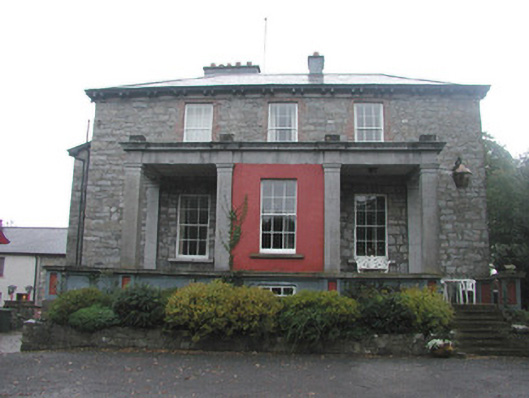 Mountshannon Housecountry house · 233 yd
 Fortification in LisnalurgFortification · 281 yd
 Enclosure in LisnalurgEnclosure · 456 yd
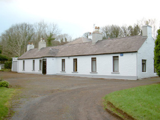 Fort Louishouse · 896 yd
 European BeechEuropean Beech · 1.1 mi
 Famine MemorialMonument · 1.3 mi
 CastleCastle, Anglo-Norman masonry castle · 1.3 mi
 Model Niland GalleryHeritage attraction · 1.4 mi
 Sligo Masonic HallMemorial · 1.4 mi
 Discover IrelandVisitor information · 1.4 mi
 SligoVisitor information · 1.4 mi
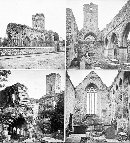 Sligo AbbeyMuseum · 1.5 mi