What is recorded here
Discovered prior to road construction (Excavation Licence No. 98E0125 (Sites C, D and E)). Excavation revealed thin spreads of grey soil, with occasional charcoal flecks. No diagnostic finds were recovered from these spreads. (Breen 2000, 153)
Compiled by: Claire Breen
Date of upload: 31 May 2012
The monument record does not grant public access. Check the route and ask the landowner before entering private land.
- What survives
- Recorded monument
Places near here
 Fulacht fia in CookstownFulacht fia · 407 yd
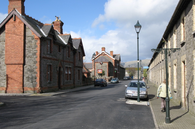 Enclosure in CardistownEnclosure · 1062 yd
 Site of Cookstown CastleCastle, unclassified · 1162 yd
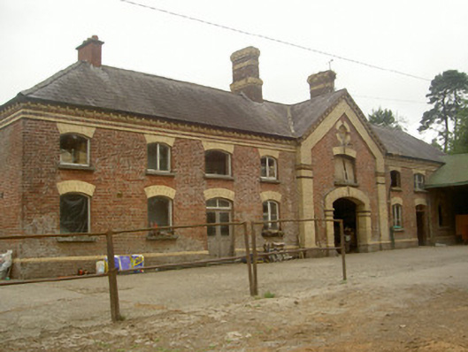 Cardistown Housefarmyard complex · 1251 yd
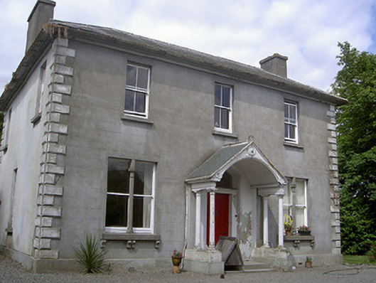 Arthurstown Housepresbytery/parochial/curate's house · 1351 yd
 Louth HallCastle, tower house · 1.8 mi
 Long PlantationForest · 2.1 mi
 Matthew's HillMountain / peak · 2.8 mi
 English hollyEnglish holly · 3.0 mi
 Flat cemetery in AnnaheanFlat cemetery · 3.1 mi
 Yellow HillMountain / peak · 3.2 mi
 Sir Frederick Foster MemorialMemorial · 3.4 mi