What is recorded here
Fire broke through Kippagh Middle around the time the ringfort stood tall, scattering charcoal into soil that still marks the ground. The red patches suggest heat so fierce it changed the earth itself, perhaps from a house, a workshop, or a disaster no one recorded. Two burns sit close together, as if the same tragedy happened twice or one event split across the field.
In tillage, c. 130m S of ringfort (12642) and on line of levelled field fence. Irregular spread of charcoal-enriched soil (14m N-S; 10m E-W) with patches of red soil resembling an iron oxide. Similar spread (14680) c. 46m to N.
The above description is derived from the published 'Archaeological Inventory of County Cork. Volume 4: North Cork' (Dublin: Stationery Office, 2000). In certain instances the entries have been revised and updated in the light of recent research.
Date of upload/revision: 14 January 2009
The monument record does not grant public access. Check the route and ask the landowner before entering private land.
- What survives
- Recorded monument
Places near here
 Fulacht fia in Kippagh MiddleFulacht fia · 186 yd
 Bridgeview CottCountry house · 783 yd
 Man-made underground passage in Kippagh SouthMan-made underground passage · 816 yd
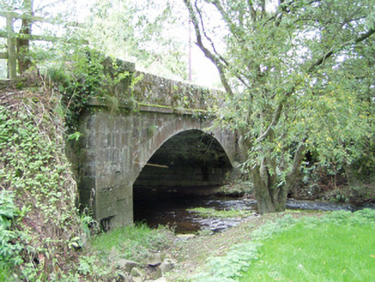 Bannagh Bridgebridge · 1429 yd
 Castle Magner (in Ruins)Bawn · 1.3 mi
 Gurteenkreen Castle (Site of)Castle, unclassified · 1.5 mi
 European YewEuropean Yew · 1.7 mi
 Burial ground in AssolasBurial ground · 1.8 mi
 St Fursey's WellSpring · 1.9 mi
 Graveyard in Ballygiblin (duhallow By.)Graveyard · 2.2 mi
 Mount Hillary - Knightfield LoopWalking route · 2.3 mi
 Mount Hillary - Mount Hillary LoopWalking route · 2.6 mi