What is recorded here
Situated on E bank of stream which marks townland boundary with Bullford, mill race located to W. Three distinct areas of burnt spread material in close proximity were identified during the digging of an electricity services trench in an area on the western boundary of a housing development site. The services trench measured 1.3m deep by 0.75m wide and runs parallel to a small stream which forms the western boundary of the development site. This trench has been partially backfilled covering ducting pipes for the electricity cables. The excavation of the trench revealed a layer of bunt mound material consisting of heat shattered stones located approx. 40cm below the top sod. The most substantial spread was visible on both faces of the trench and ran for a length of approx. 6m, the other burnt spreads were only visible on the E face of the trench and were mainly obscured by the backfill material. There was no surface evidence of any burnt mounds or fulachta fiadh in the area where the services trench was excavated. No other archaeological activity was noted in the services trench. Archaeological testing under licence No. 17E0593 had been carried out on the development site along a geophysical survey carried out under detection consent No. 17E0187.
Compiled by: Caimin O'Brien
Date of upload: 01 November 2019
The monument record does not grant public access. Check the route and ask the landowner before entering private land.
- What survives
- Recorded monument
Places near here
 Church (in Ruins), Grave Yd.Church · 564 yd
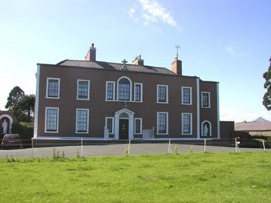 Saint Patrick's Conventcountry house · 635 yd
 IndicatedHoly well · 772 yd
 St. Patricks Well (Site of)Holy well · 1149 yd
 Glenroe FarmHeritage attraction · 1466 yd
 SycamoreSycamore · 1474 yd
 TuliptreeTuliptree · 1.6 mi
 CastleCastle, motte · 1.9 mi
 Delgany Heritage TrailWalking route · 2.2 mi
 Leamore StrandBeach / strand · 2.2 mi
 Castle (in Ruins)Castle, ringwork · 2.3 mi
 Greystones South BeachBeach / strand · 2.5 mi